Steyr Stadt
Urbex mapa The Plotted Silence
Steyr StadtOberosterreichRakousko
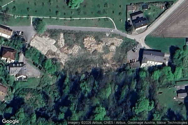
The Plotted Silence - Coordonnées GPS Urbex
Obtenez la coordonnée GPS exacte de ce lieu abandonné situé dans le département Steyr Stadt (Oberosterreich, Rakousko). Spot urbex vérifié et géolocalisé.
The Steyr Valley Railway (German: Steyrtalbahn) was a 760 mm (2 ft 5+15⁄16 in) narrow gauge railway in Upper Austria, which ran along the valley of the River Steyr from Garsten through Steyr, Grünburg and Molln to Klaus, with a branchline to Sierning and Bad Hall. A section of the line has been retained as a museum railway.
0,90EUR
Paiement unique - accès à vie
100% bezpečná platba
AMEX
Google Pay
stripe
Šifrované SSL připojení · Žádné bankovní údaje nejsou uloženy
Ce qui est inclus
- Coordonnée GPS exacte
- Photo satellite du spot
- Accès immédiat après achat