Sali
Urbex mapa Podgomiline, Silba
SaliZadarskaChorvatsko
Pravidelné aktualizace dostupné na celý život
- Opustene hotely
Podgomiline, Silba - Coordonnées GPS Urbex
Obtenez la coordonnée GPS exacte de ce lieu abandonné situé dans le département Sali (Zadarska, Chorvatsko). Spot urbex vérifié et géolocalisé.
Silba (pronounced [sîlba]) is an island in Croatia with an area of 15 km2, northern Dalmatia, south-east of Lošinj, between the islands of Premuda and Olib. It has a Mediterranean climate with 2570 hours a year of sunshine. Most summer days are hot, bright and clear with light westerly maestral wind cooling the island in the afternoons.
0,90EUR
Paiement unique - accès à vie
100% bezpečná platba
AMEX
Google Pay
stripe
Šifrované SSL připojení · Žádné bankovní údaje nejsou uloženy
Ce qui est inclus
- Coordonnée GPS exacte
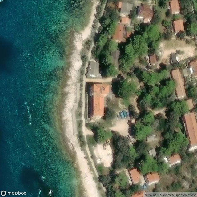
- Photo satellite du spot
- Accès immédiat après achat