Nord
Urbex mapa Abandoned Building/ Saint-Jans-Cappel/ France
NordHauts-de-FranceFrancie
Pravidelné aktualizace dostupné na celý život
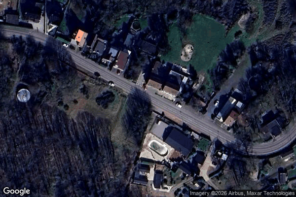
Abandoned Building/ Saint-Jans-Cappel/ France - Coordonnées GPS Urbex
Obtenez la coordonnée GPS exacte de ce lieu abandonné situé dans le département Nord (Hauts-de-France, Francie). Spot urbex vérifié et géolocalisé.
Mont Noir (Zwarte Berg in Dutch) is a 152 metres (499 ft) high hill located on the French-Belgian border, a few kilometres from Bailleul. It takes its name from the presence of a high concentration of black pine woodland, which covers the hillside.
0,90EUR
Paiement unique - accès à vie
100% bezpečná platba
AMEX
Google Pay
stripe
Šifrované SSL připojení · Žádné bankovní údaje nejsou uloženy
Ce qui est inclus
- Coordonnée GPS exacte
- Photo satellite du spot
- Accès immédiat après achat