Urbex mapa Ostholstein
39 opuštěná místa v Ostholstein

39
spoty
Jednorázová platba: doživotní přístup
100% bezpečná platba
Šifrované SSL připojení · Žádné bankovní údaje nejsou uloženy
Pravidelné aktualizace dostupné na celý život
Témata zahrnutá v tomto balíčku
Všechna opuštěná místa v Ostholstein
39 ověřené souřadnice GPS v kraji Ostholstein, Schleswig Holstein, Německo.
Hledáte opuštěná místa v Ostholstein, Schleswig Holstein, Německo? Urbex Maps nabízí 39 ověřených GPS souřadnic opuštěných budov v této oblasti, včetně Zriceniny, Mlyny, Opuštěné železnice, Sidla, Vojenske, Opustene domy.
39
ověřených míst
GPS
Google Maps, Waze
září 2026
poslední aktualizace
Kde najít opuštěná místa v Ostholstein?
Opuštěná místa v Ostholstein najdete nejlépe přes interaktivní urbex mapu Urbex Maps s 39 ověřenými GPS souřadnicemi.
Typy opuštěných míst v Ostholstein
- Zriceniny
- Mlyny
- Opuštěné železnice
- Sidla
- Vojenske
- Opustene domy
- Majaky
- Nemocnice
Spots v Ostholstein

AMEOS Klinikum Heiligenhafen, Heiligenhafen
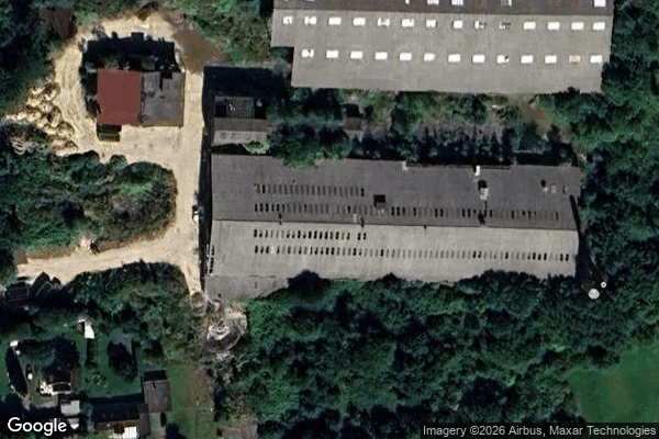
Ahrensbök

Alter Mühlenweg, Dänschendorf

Altes Herrenhaus

Am Südstrand, Fehmarn
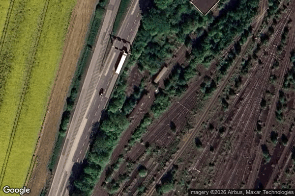
B 207, Puttgarden

Bad Schwartau

Bahnhofstraße, Neversfelde

Barghorst

Bebensundweg, Eutin
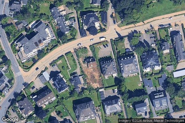
Bergstraße, Timmendorfer Strand
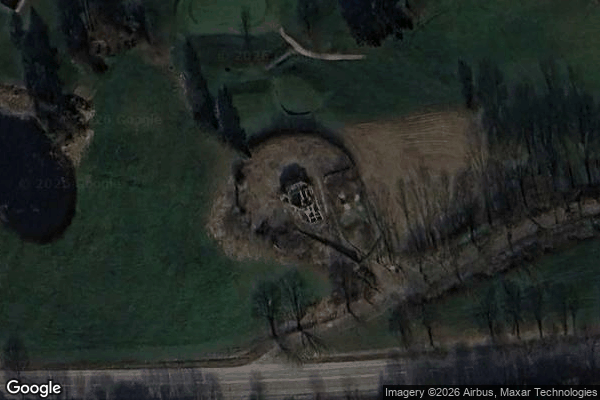
Brodauer Mühle

Bruhnskoppel, Krummsee

Bungsberg, Schönwalde am Bungsberg
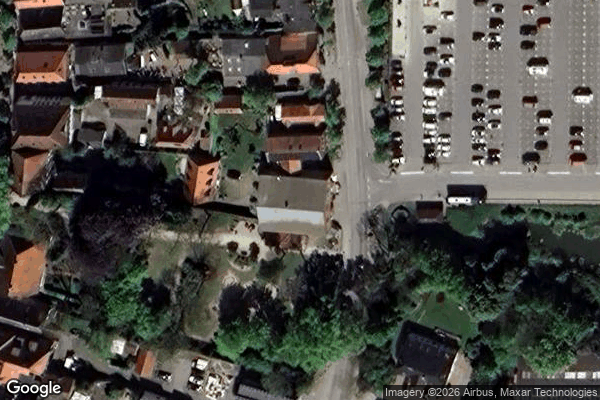
Burg auf Fehmarn

Diekseepromenade, Malente
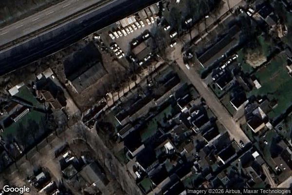
Echoes In Digital Coordinates
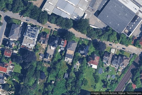
Elisabethstraße, Bad Schwartau

Fährhafenstraße, Puttgarden
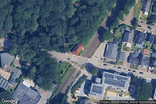
Geibelstraße, Bad Schwartau

Gremersdorf
Großenbroderfähre, Großenbrode

Klausdorfer Weg, Niendorf

Malente

Monkhagen
Ostermader Kamp, Ostermade
SchwinkenraderWassermühle
Schützenplatz, Lensahn
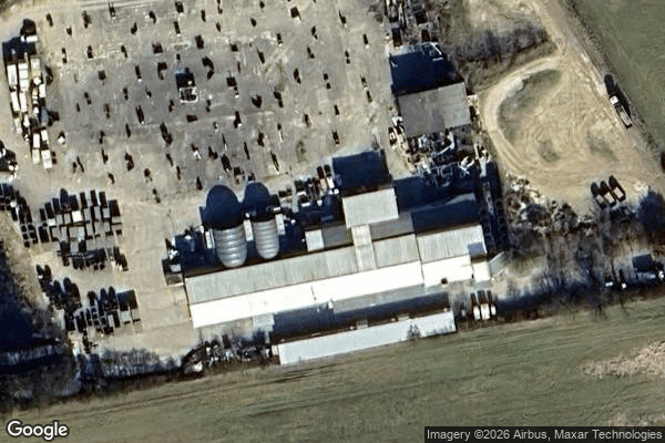
Shadows Within the Grid
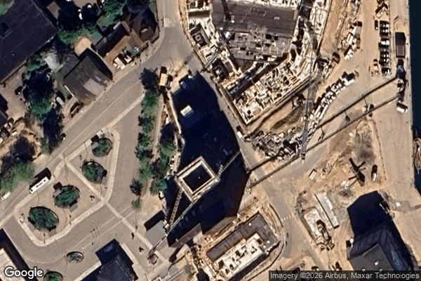
Speichertürme
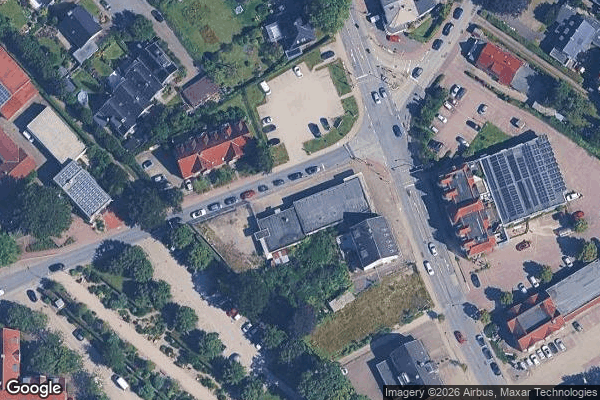
Stockelsdorf
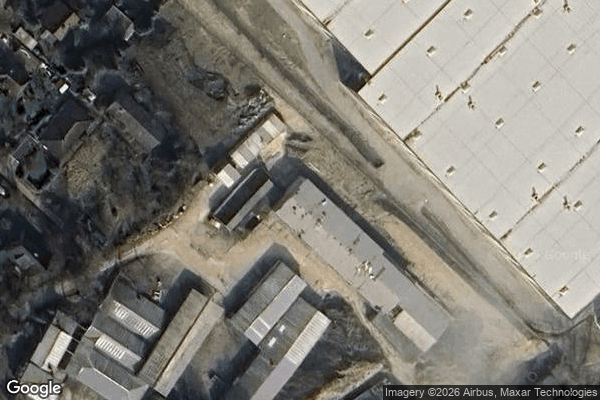
The Geometry of Shadows
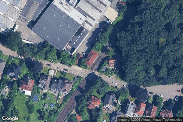
The Geometry of Silence
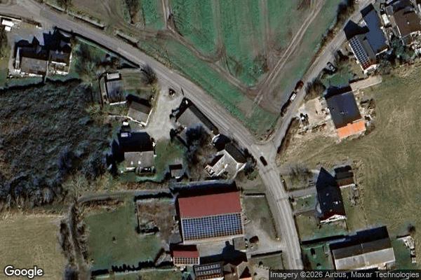
The Imported Geometric Ghost
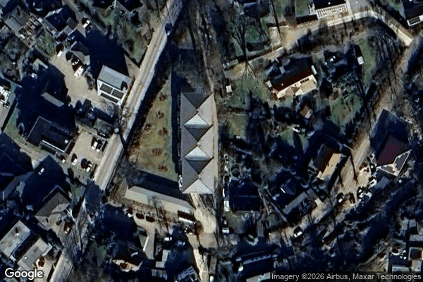
The Imported Silence

The Mapped Silence

Thomas Betonwerk, Heiligenhafen
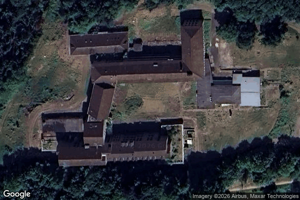
Vertices of a Silent Grid

Weidestraße, Eutin