Chester
Urbex mapa Brandywine Picnic Park
ChesterPennsylvaniaSpojené státy
Pravidelné aktualizace dostupné na celý život
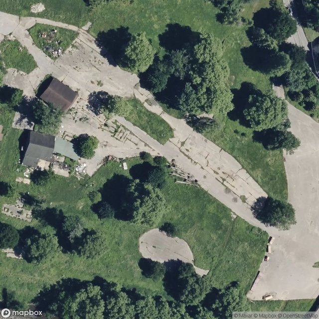
Brandywine Picnic Park - Coordonnées GPS Urbex
Obtenez la coordonnée GPS exacte de ce lieu abandonné situé dans le département Chester (Pennsylvania, Spojené státy). Spot urbex vérifié et géolocalisé.
Lenape Bridge is a historic stone arch bridge located in Birmingham Township and Pocopson Township, Chester County, Pennsylvania. It has a seven spans, each 44-foot-long (13 m), with a total length of 308-foot (94 m). The bridge was constructed in 1911–1912, of random rubble stone.
0,90EUR
Paiement unique - accès à vie
100% bezpečná platba
AMEX
Google Pay
stripe
Šifrované SSL připojení · Žádné bankovní údaje nejsou uloženy
Ce qui est inclus
- Coordonnée GPS exacte
- Photo satellite du spot
- Accès immédiat après achat