Posedarje
Lost Places Karte Trace of a Transfer
PosedarjeZadarskaKroatien
Lebenslange Updates
Trace of a Transfer - Coordonnées GPS Urbex
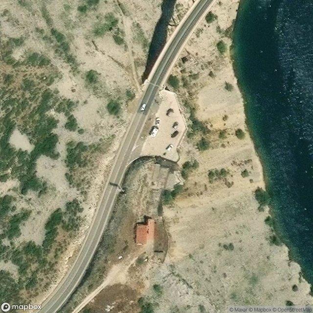
Obtenez la coordonnée GPS exacte de ce lieu abandonné situé dans le département Posedarje (Zadarska, Kroatien). Spot urbex vérifié et géolocalisé.
The Maslenica Bridge (Croatian: Most Maslenica, also known as Croatian: Maslenički most) is a deck arch bridge carrying the D8 state road spanning the Novsko Ždrilo strait of the Adriatic Sea approximately 1 km (0.62 mi) to the west of the settlement of Maslenica, Croatia and 500 m (1,600 ft) south of the D54 and D8 state roads junction. It was built in 2005 on a site of a similar bridge that was destroyed in 1991, during the Croatian War of Independence.
0,90EUR
Paiement unique - accès à vie
100% sichere Zahlung
AMEX
Google Pay
stripe
SSL-verschlüsselte Verbindung · Keine Bankdaten gespeichert
Ce qui est inclus
- Coordonnée GPS exacte
- Photo satellite du spot
- Accès immédiat après achat