Rastatt
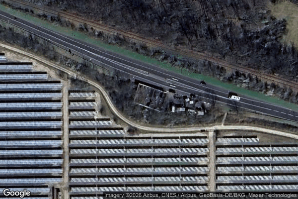
Lost Places Karte Abonded border control
RastattBaden WurttembergDeutschland
Lebenslange Updates
Abonded border control - Coordonnées GPS Urbex
Obtenez la coordonnée GPS exacte de ce lieu abandonné situé dans le département Rastatt (Baden Wurttemberg, Deutschland). Spot urbex vérifié et géolocalisé.
The Acher (German pronunciation: [ˈaxɐ] ) is a river in the districts of Ortenau and Rastatt, Baden-Württemberg, in southern Germany. It is 53.6 km long and flows from the Black Forest to the Rhine in a northwesterly direction, situated between the Rench to the south and the Oos to the north.
0,90EUR
Paiement unique - accès à vie
100% sichere Zahlung
AMEX
Google Pay
stripe
SSL-verschlüsselte Verbindung · Keine Bankdaten gespeichert
Ce qui est inclus
- Coordonnée GPS exacte
- Photo satellite du spot
- Accès immédiat après achat