Teltow Flaming
Lost Places Karte Army Experimentation / Armee-Experimente
Teltow FlamingBrandenburgDeutschland
Lebenslange Updates
- Militaerisch
Army Experimentation / Armee-Experimente - Coordonnées GPS Urbex
Obtenez la coordonnée GPS exacte de ce lieu abandonné situé dans le département Teltow Flaming (Brandenburg, Deutschland). Spot urbex vérifié et géolocalisé.
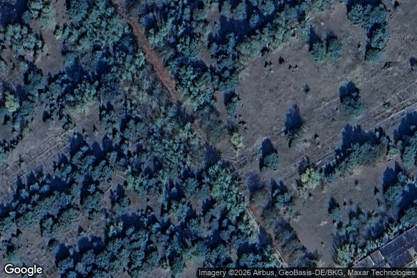
Kummersdorf (German pronunciation: [ˈkʊmɐsdɔʁf]) is the name of an estate near Luckenwalde, around 25 km south of Berlin, in the Brandenburg region of Germany. Until 1945 Kummersdorf hosted the weapon office of the German Army which ran a development centre for future weapons as well as an artillery range.
0,90EUR
Paiement unique - accès à vie
100% sichere Zahlung
AMEX
Google Pay
stripe
SSL-verschlüsselte Verbindung · Keine Bankdaten gespeichert
Ce qui est inclus
- Coordonnée GPS exacte
- Photo satellite du spot
- Accès immédiat après achat