Lost Places Karte Adolfstraße, Detmold
Lebenslange Updates
- Kloester
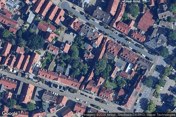
Adolfstraße, Detmold - Coordonnées GPS Urbex
Obtenez la coordonnée GPS exacte de ce lieu abandonné situé dans le département Lippe (Nordrhein Westfalen, Deutschland). Spot urbex vérifié et géolocalisé.
Ostwestfalen-Lippe ([ˌɔstvɛstfaːlənˈlɪpə] , literally East(ern) Westphalia-Lippe, abbreviation OWL) is the eastern region of the German state of North Rhine-Westphalia, congruent with the administrative region of Detmold and containing the eastern part of Westphalia, joined with the Lippe region. The region has a population of about two million inhabitants. The region includes the cities of Bielefeld, Paderborn and Gütersloh, and the major towns of Minden, Detmold and Herford.
Paiement unique - accès à vie
100% sichere Zahlung
SSL-verschlüsselte Verbindung · Keine Bankdaten gespeichert
Ce qui est inclus
- Coordonnée GPS exacte
- Photo satellite du spot
- Accès immédiat après achat