Olesnica
Lost Places Karte Dwór, Zawada
OlesnicaDolnoslaskiePolen
Lebenslange Updates
- Herrenhaeuser
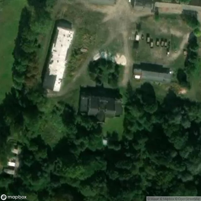
Dwór, Zawada - Coordonnées GPS Urbex
Obtenez la coordonnée GPS exacte de ce lieu abandonné situé dans le département Olesnica (Dolnoslaskie, Polen). Spot urbex vérifié et géolocalisé.
Wojciechowo Wielkie (Polish pronunciation: [vɔjt͡ɕɛˈxɔvɔ ˈvjɛlkʲɛ]) is a village in the administrative district of Gmina Syców, within Oleśnica County, Lower Silesian Voivodeship, in south-western Poland. The S8 highway passes nearby, south of Wojciechowo Wielkie.
0,90EUR
Paiement unique - accès à vie
100% sichere Zahlung
AMEX
Google Pay
stripe
SSL-verschlüsselte Verbindung · Keine Bankdaten gespeichert
Ce qui est inclus
- Coordonnée GPS exacte
- Photo satellite du spot
- Accès immédiat après achat