Puck
Lost Places Karte dawny OSF
PuckPomorskiePolen
Lebenslange Updates
- Militaerisch
dawny OSF - Coordonnées GPS Urbex
Obtenez la coordonnée GPS exacte de ce lieu abandonné situé dans le département Puck (Pomorskie, Polen). Spot urbex vérifié et géolocalisé.
The Hel Fortified Area (Polish: Rejon Umocniony Hel) was a set of Polish fortifications, constructed on the Hel Peninsula in northern Poland, in close proximity to the interwar border of Poland and the Third Reich. It was created in 1936, upon a decree of President Ignacy Mościcki. It covered most part of the peninsula, and during Polish September Campaign, it was the last place of Poland to surrender to the invading Wehrmacht (for more information, see Battle of Hel).
0,90EUR
Paiement unique - accès à vie
100% sichere Zahlung
AMEX
Google Pay
stripe
SSL-verschlüsselte Verbindung · Keine Bankdaten gespeichert
Ce qui est inclus
- Coordonnée GPS exacte
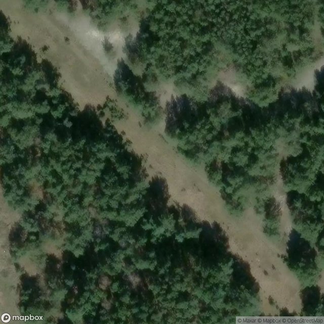
- Photo satellite du spot
- Accès immédiat après achat