Lost Places Karte Бывшее здание военкомата
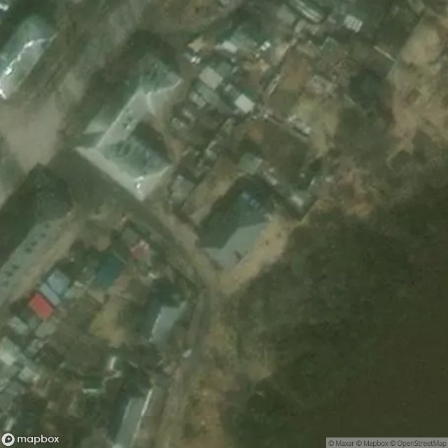
Бывшее здание военкомата - Coordonnées GPS Urbex
Obtenez la coordonnée GPS exacte de ce lieu abandonné situé dans le département Zharkovskiy Rayon (Tver, Russland). Spot urbex vérifié et géolocalisé.
Zharkovsky District (Russian: Жарко́вский райо́н) is an administrative and municipal district (raion), one of the thirty-six in Tver Oblast, Russia. It is located in the southwest of the oblast and borders with Nelidovsky District in the north, Belsky District in the east, Dukhovshchinsky District of Smolensk Oblast in the southeast, Demidovsky District of Smolensk Oblast in the south, Velizhsky District of Smolensk Oblast in the southwest, and with Zapadnodvinsky District in the west. The area
Paiement unique - accès à vie
100% sichere Zahlung
SSL-verschlüsselte Verbindung · Keine Bankdaten gespeichert
Ce qui est inclus
- Coordonnée GPS exacte
- Photo satellite du spot
- Accès immédiat après achat