Northamptonshire
Lost Places Karte Langborough Barn
NorthamptonshireEnglandVereinigtes Königreich
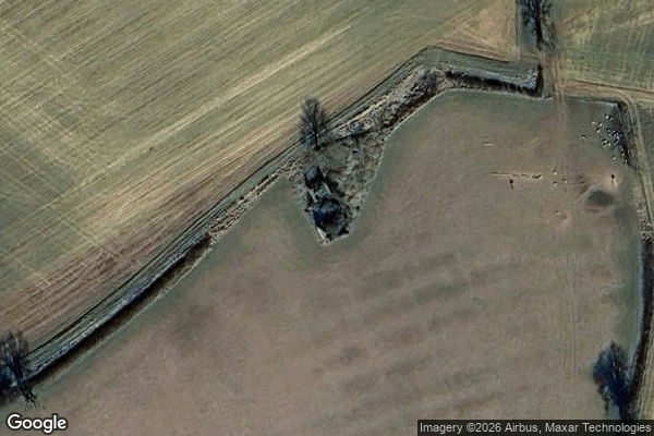
Langborough Barn - Coordonnées GPS Urbex
Obtenez la coordonnée GPS exacte de ce lieu abandonné situé dans le département Northamptonshire (England, Vereinigtes Königreich). Spot urbex vérifié et géolocalisé.
Watford Gap services are motorway services on the M1 motorway in Northamptonshire, England. They opened on 2 November 1959, the same day as the M1, making them one of the oldest motorway services in Britain. The facilities were originally managed by Blue Boar, a local company that had run a nearby petrol station before the M1 opened.
0,90EUR
Paiement unique - accès à vie
100% sichere Zahlung
AMEX
Google Pay
stripe
SSL-verschlüsselte Verbindung · Keine Bankdaten gespeichert
Ce qui est inclus
- Coordonnée GPS exacte
- Photo satellite du spot
- Accès immédiat après achat