South Tyneside
Lost Places Karte Traces of the Latent Grid
South TynesideEnglandVereinigtes Königreich
Lebenslange Updates
Traces of the Latent Grid - Coordonnées GPS Urbex
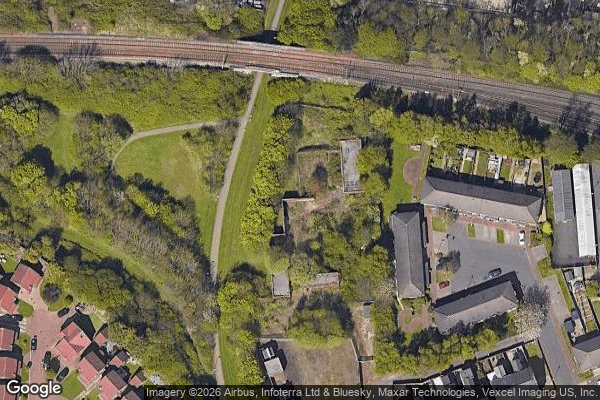
Obtenez la coordonnée GPS exacte de ce lieu abandonné situé dans le département South Tyneside (England, Vereinigtes Königreich). Spot urbex vérifié et géolocalisé.
Willington Quay is an area in the borough of North Tyneside in Tyne and Wear in northern England. It is on the north bank of the River Tyne, facing Jarrow, and between Wallsend and North Shields. It is served by the Howdon Metro station in Howdon.
0,90EUR
Paiement unique - accès à vie
100% sichere Zahlung
AMEX
Google Pay
stripe
SSL-verschlüsselte Verbindung · Keine Bankdaten gespeichert
Ce qui est inclus
- Coordonnée GPS exacte
- Photo satellite du spot
- Accès immédiat après achat