Surrey
Lost Places Karte Ruined Abbey
SurreyEnglandVereinigtes Königreich
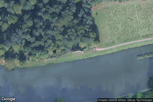
Ruined Abbey - Coordonnées GPS Urbex
Obtenez la coordonnée GPS exacte de ce lieu abandonné situé dans le département Surrey (England, Vereinigtes Königreich). Spot urbex vérifié et géolocalisé.
Painshill (formally Painshill Park) is a restored, 18th-century English park and landscape garden in Cobham, Surrey, England. It was created between 1738 and 1773 by the owner, Charles Hamilton, from an area of heathland and woodland. Painshill is laid out as a series of scenes, crafted by combining architectural features with trees and shrubs, many of which are non-native species.
0,90EUR
Paiement unique - accès à vie
100% sichere Zahlung
AMEX
Google Pay
stripe
SSL-verschlüsselte Verbindung · Keine Bankdaten gespeichert
Ce qui est inclus
- Coordonnée GPS exacte
- Photo satellite du spot
- Accès immédiat après achat