Flintshire
Lost Places Karte Rhes-y-cae Limekiln
FlintshireWalesVereinigtes Königreich
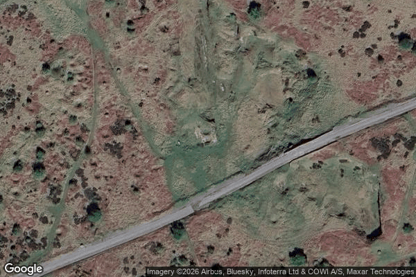
Rhes-y-cae Limekiln - Coordonnées GPS Urbex
Obtenez la coordonnée GPS exacte de ce lieu abandonné situé dans le département Flintshire (Wales, Vereinigtes Königreich). Spot urbex vérifié et géolocalisé.
Halkyn Common and Holywell Grasslands (Welsh: Comin Helygain a Glaswelltiroedd Treffynnon) is a Site of Special Scientific Interest in Flintshire, north Wales covering Halkyn Mountain and surrounding areas. It lies 4 km north-west of Mold on a plateau about 100–300 m above sea-level. It includes 699.3 hectares of grassland, heathland and other open vegetation with numerous spoil tips and quarries.
0,90EUR
Paiement unique - accès à vie
100% sichere Zahlung
AMEX
Google Pay
stripe
SSL-verschlüsselte Verbindung · Keine Bankdaten gespeichert
Ce qui est inclus
- Coordonnée GPS exacte
- Photo satellite du spot
- Accès immédiat après achat