Monmouthshire
Lost Places Karte Blackrock, Darrenfelen
MonmouthshireWalesVereinigtes Königreich
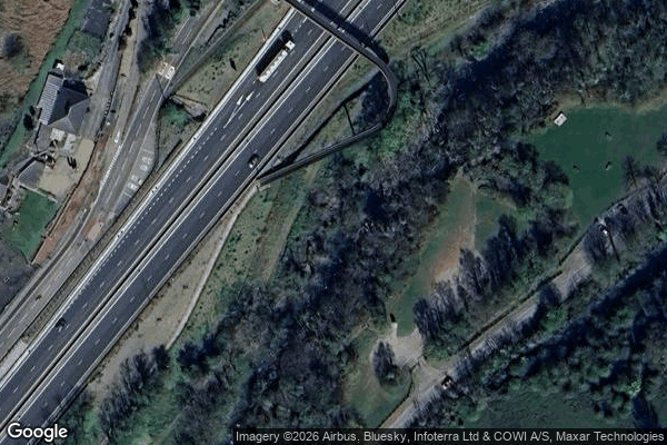
Blackrock, Darrenfelen - Coordonnées GPS Urbex
Obtenez la coordonnée GPS exacte de ce lieu abandonné situé dans le département Monmouthshire (Wales, Vereinigtes Königreich). Spot urbex vérifié et géolocalisé.
Smart's Bridge, Llanelly, Monmouthshire, is a cast-iron bridge situated in Clydach Gorge. Constructed in 1824, it gave access to the Clydach Ironworks, the most significant industrial enterprise in the gorge. The bridge was designated a Grade II* listed structure in 2000.
0,90EUR
Paiement unique - accès à vie
100% sichere Zahlung
AMEX
Google Pay
stripe
SSL-verschlüsselte Verbindung · Keine Bankdaten gespeichert
Ce qui est inclus
- Coordonnée GPS exacte
- Photo satellite du spot
- Accès immédiat après achat