Lost Places Karte Flos-felyn
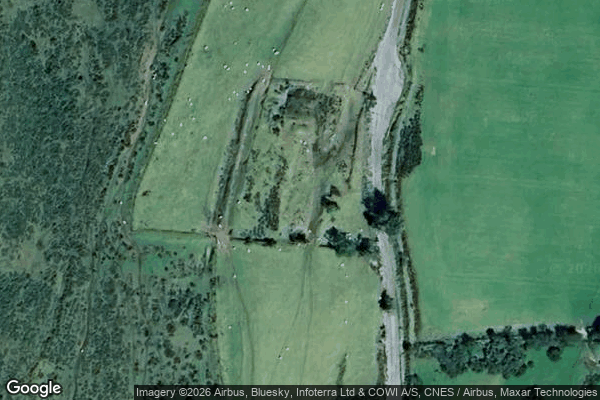
Flos-felyn - Coordonnées GPS Urbex
Obtenez la coordonnée GPS exacte de ce lieu abandonné situé dans le département Pembrokeshire (Wales, Vereinigtes Königreich). Spot urbex vérifié et géolocalisé.
Waun Mawn (Welsh for "peat moor") is a megalithic site in the Preseli Mountains of Pembrokeshire, Wales. Following excavations in 2018, it became the site of a supposed dismantled Neolithic stone circle. The diameter of the postulated circle was estimated to be 110 m (360 ft), making it the fifth largest diameter for a British stone circle, after Avebury (331.6 m (1,088 ft)), Stanton Drew (113 m (371 ft)), Karl Lofts (estimated 122 m (400 ft)), Long Meg (maximum 120 m (390 ft)), and slightly lar
Paiement unique - accès à vie
100% sichere Zahlung
SSL-verschlüsselte Verbindung · Keine Bankdaten gespeichert
Ce qui est inclus
- Coordonnée GPS exacte
- Photo satellite du spot
- Accès immédiat après achat