Fairfield
Lost Places Karte Pleasure Beach
FairfieldConnecticutVereinigte Staaten
Lebenslange Updates
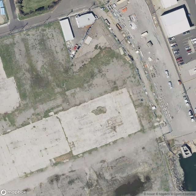
Pleasure Beach - Coordonnées GPS Urbex
Obtenez la coordonnée GPS exacte de ce lieu abandonné situé dans le département Fairfield (Connecticut, Vereinigte Staaten). Spot urbex vérifié et géolocalisé.
The Barnum–Palliser Historic District is a 5.9-acre (2.4 ha) residential historic district in Bridgeport, Connecticut. The area, bounded roughly by Austin Street, Myrtle Avenue, Atlantic Street, and Park Avenue, was developed by P.T. Barnum to provide worker housing in the 1880s. Many of the houses were designed by Palliser, Palliser & Co., and are interesting examples of Italianate, Queen Anne, and Stick/Eastlake architecture.
0,90EUR
Paiement unique - accès à vie
100% sichere Zahlung
AMEX
Google Pay
stripe
SSL-verschlüsselte Verbindung · Keine Bankdaten gespeichert
Ce qui est inclus
- Coordonnée GPS exacte
- Photo satellite du spot
- Accès immédiat après achat