Lost Places Karte Estate Brewers Bay
Lebenslange Updates
Estate Brewers Bay - Coordonnées GPS Urbex
Obtenez la coordonnée GPS exacte de ce lieu abandonné situé dans le département Northside (Vi, Vereinigte Staaten). Spot urbex vérifié et géolocalisé.
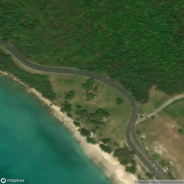
The Estate Brewers Bay, located near the University of the Virgin Islands and John Brewers Bay Beach about 2 miles (3.2 km) west of Charlotte Amalie on Saint Thomas, U.S. Virgin Islands, is a historic sugar plantation which was listed on the National Register of Historic Places in 1978. Surviving on the site, at least as of 1977, are the ruins of a sugar factory, later adapted as a residence, and of an animal-powered mill. The first records of ownership are in 1855; it appeared on a map in 1856
Paiement unique - accès à vie
100% sichere Zahlung
SSL-verschlüsselte Verbindung · Keine Bankdaten gespeichert
Ce qui est inclus
- Coordonnée GPS exacte
- Photo satellite du spot
- Accès immédiat après achat