Claiborne
Lost Places Karte Port Gibson
ClaiborneMississippiVereinigte Staaten
Lebenslange Updates
Port Gibson - Coordonnées GPS Urbex
Obtenez la coordonnée GPS exacte de ce lieu abandonné situé dans le département Claiborne (Mississippi, Vereinigte Staaten). Spot urbex vérifié et géolocalisé.
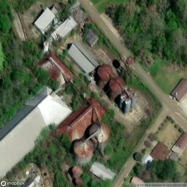
The Port Gibson Oil Works Mill Building is a historic industrial building for production of cottonseed oil located in Port Gibson, Mississippi, United States. Beginning operations in 1882, it is one of the earliest cottonseed crushing mills in the U.S. The two-story, brick mill building was still in operation as of 1979. Major parts of the interior machinery had been modernized in 1930 and 1955.
0,90EUR
Paiement unique - accès à vie
100% sichere Zahlung
AMEX
Google Pay
stripe
SSL-verschlüsselte Verbindung · Keine Bankdaten gespeichert
Ce qui est inclus
- Coordonnée GPS exacte
- Photo satellite du spot
- Accès immédiat après achat