Missoula
Lost Places Karte Traces of the Ghost Grid
MissoulaMontanaVereinigte Staaten
Lebenslange Updates
Traces of the Ghost Grid - Coordonnées GPS Urbex
Obtenez la coordonnée GPS exacte de ce lieu abandonné situé dans le département Missoula (Montana, Vereinigte Staaten). Spot urbex vérifié et géolocalisé.
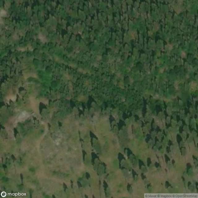
Coloma is a ghost town located in the area of the Garnet Range in Missoula County, Montana, United States. Little is known about the settlement, which appears to have been founded in 1893. Records of the period indicate high gold mining activity from 1896 onwards, with an estimated $200,000 to $250,000 in gold being extracted.
0,90EUR
Paiement unique - accès à vie
100% sichere Zahlung
AMEX
Google Pay
stripe
SSL-verschlüsselte Verbindung · Keine Bankdaten gespeichert
Ce qui est inclus
- Coordonnée GPS exacte
- Photo satellite du spot
- Accès immédiat après achat