Hudson
Lost Places Karte Blue chapel
HudsonNew JerseyVereinigte Staaten
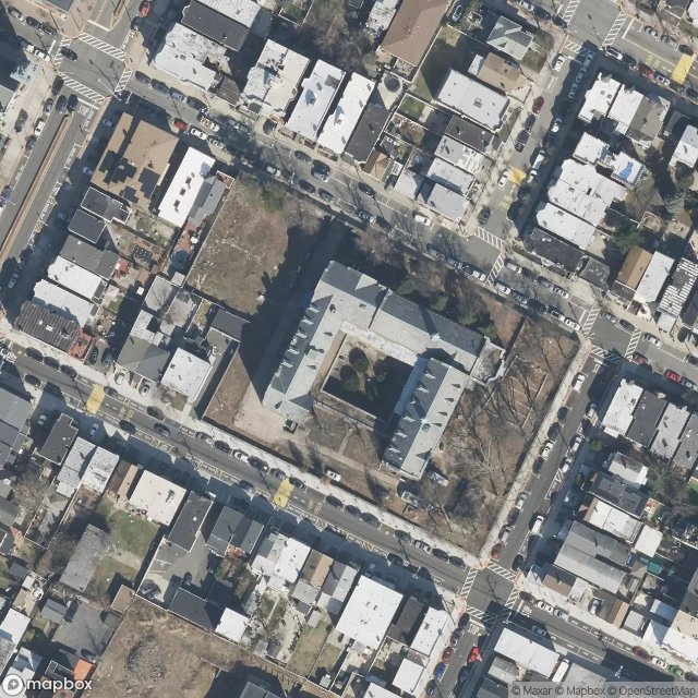
Blue chapel - Coordonnées GPS Urbex
Obtenez la coordonnée GPS exacte de ce lieu abandonné situé dans le département Hudson (New Jersey, Vereinigte Staaten). Spot urbex vérifié et géolocalisé.
West Hoboken was a municipality that existed in Hudson County, New Jersey, from 1861 to 1925. It merged with Union Hill to form Union City on June 1, 1925. The town is notable for being the first city in which Mallomars were sold.
0,90EUR
Paiement unique - accès à vie
100% sichere Zahlung
AMEX
Google Pay
stripe
SSL-verschlüsselte Verbindung · Keine Bankdaten gespeichert
Ce qui est inclus
- Coordonnée GPS exacte
- Photo satellite du spot
- Accès immédiat après achat