Cuyahoga
Lost Places Karte Traces of Forgotten Coordinates
CuyahogaOhioVereinigte Staaten
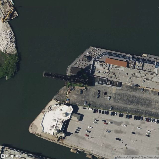
Traces of Forgotten Coordinates - Coordonnées GPS Urbex
Obtenez la coordonnée GPS exacte de ce lieu abandonné situé dans le département Cuyahoga (Ohio, Vereinigte Staaten). Spot urbex vérifié et géolocalisé.
The Main Avenue (Harold H. Burton Memorial) Bridge (alternately Main Avenue Viaduct) is a cantilever truss bridge in Cleveland, Ohio carrying Ohio State Route 2/Cleveland Memorial Shoreway over the Cuyahoga River. The bridge, completed in 1939, is 8,000 feet (2,400 m) in length, and was the longest elevated structure in Ohio until the 2007 completion of the Veterans' Glass City Skyway in Toledo. It was named for Harold H. Burton, 45th mayor of Cleveland, in late January 1986.
0,90EUR
Paiement unique - accès à vie
100% sichere Zahlung
AMEX
Google Pay
stripe
SSL-verschlüsselte Verbindung · Keine Bankdaten gespeichert
Ce qui est inclus
- Coordonnée GPS exacte
- Photo satellite du spot
- Accès immédiat après achat