Warringah
Lost Places Karte The Imported Geometry
WarringahNew South WalesAustralien
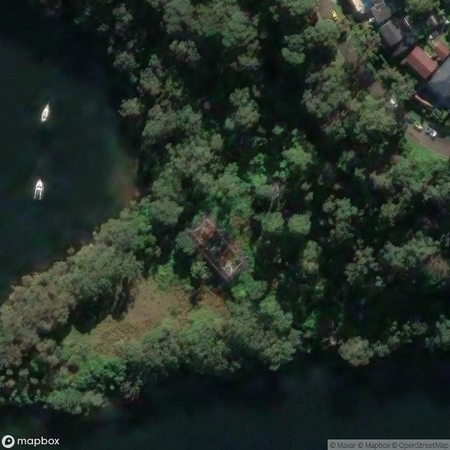
The Imported Geometry - Coordonnées GPS Urbex
Obtenez la coordonnée GPS exacte de ce lieu abandonné situé dans le département Warringah (New South Wales, Australien). Spot urbex vérifié et géolocalisé.
Bantry Bay is a bay located in the Garigal National Park in Middle Harbour within Sydney Harbour, in New South Wales, Australia. The local Bluff Track starts at the end of Grattan Crescent Frenchs Forest. There is a steep walk down to a wharf on the bay.
0,90EUR
Paiement unique - accès à vie
100% sichere Zahlung
AMEX
Google Pay
stripe
SSL-verschlüsselte Verbindung · Keine Bankdaten gespeichert
Ce qui est inclus
- Coordonnée GPS exacte
- Photo satellite du spot
- Accès immédiat après achat