Urbex Map Bodenseekreis
32 abandoned places in Bodenseekreis

32
spots
One-time payment - lifetime access
100% Secure Checkout
SSL encrypted · No banking data stored
Regular lifetime updates
Themes included in this pack
- Ruins
- Farms
- Castles
- Churches
- Monasteries
- Abandoned railways
All abandoned places in Bodenseekreis
32 verified GPS coordinates in the department of Bodenseekreis, Baden Wurttemberg, Germany.
Looking for abandoned places in Bodenseekreis, Baden Wurttemberg, Germany? Urbex Maps offers 32 verified GPS coordinates of abandoned buildings in this area, including Ruins, Farms, Castles, Churches, Monasteries, Abandoned railways.
32
verified spots
GPS
Google Maps, Waze
September 2026
last update
Where to find abandoned places in Bodenseekreis?
The best way to find abandoned places in Bodenseekreis is through the interactive urbex map on Urbex Maps with 32 verified GPS coordinates. Top categories are Ruins, Farms, Castles, Churches, Monasteries, Abandoned railways.
Types of abandoned places in Bodenseekreis
- Ruins
- Farms
- Castles
- Churches
- Monasteries
- Abandoned railways
Spots in Bodenseekreis
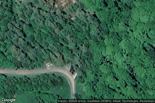
Ailingen
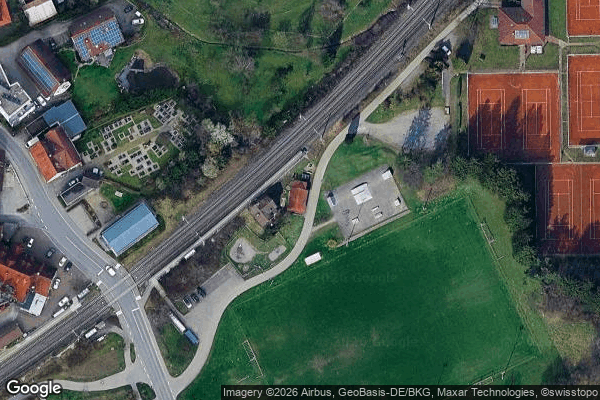
Am Bahndamm, Meckenbeuren

Am Bodenholz, Frickingen

Argenstraße, Berg

Bodanstraße, Kressbronn am Bodensee

Eriskirch
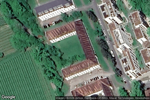
Fallenbrunnen, Friedrichshafen
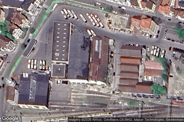
Friedrichshafen

Friedrichshafen
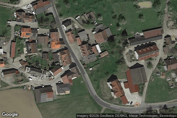
Gasthaus Zur Einkehr, Limpach
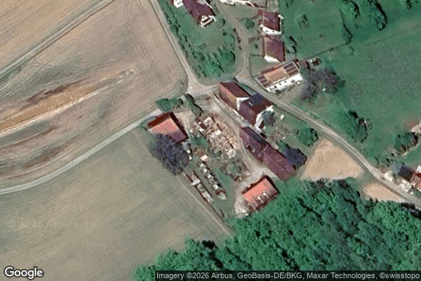
Hallendorf, Mühlhofen
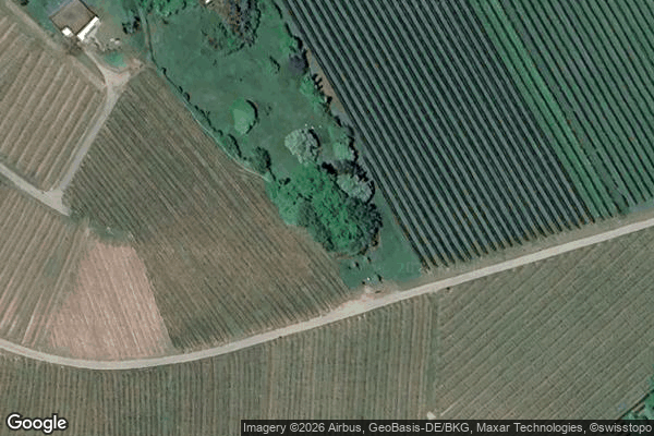
Hochbehälter
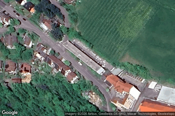
Meersburg
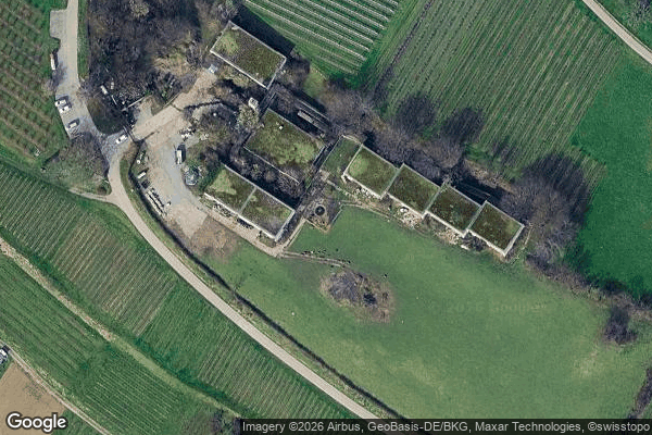
Monastery children's home / Kloster Kinderheim

Nodes of a Fading Grid

Pförendorf, Altheim
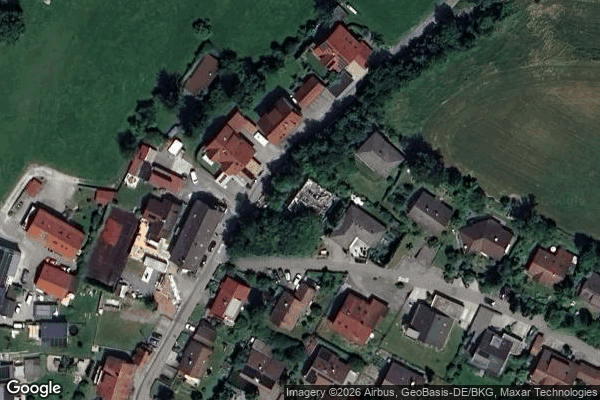
Reutehöfe, Überlingen

Rickenbach
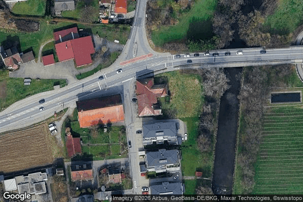
Schussenstraße, Meckenbeuren
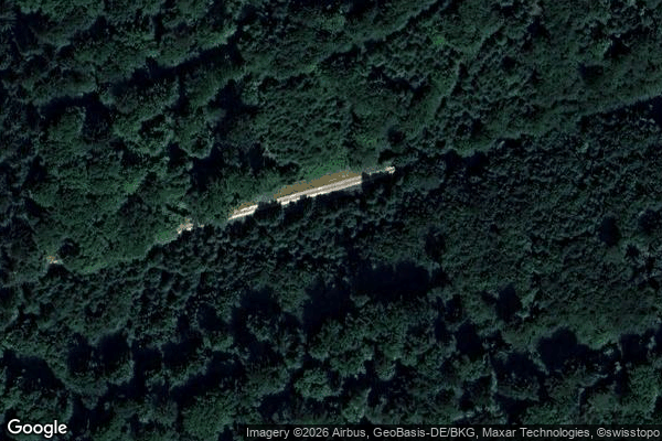
Sipplingen

Tettnang
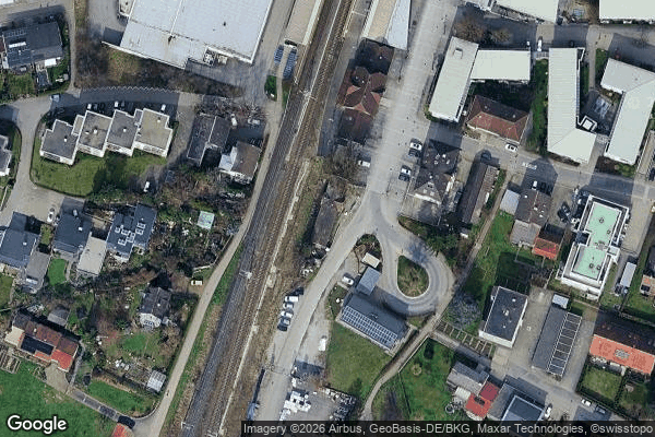
The Geometry of Silence
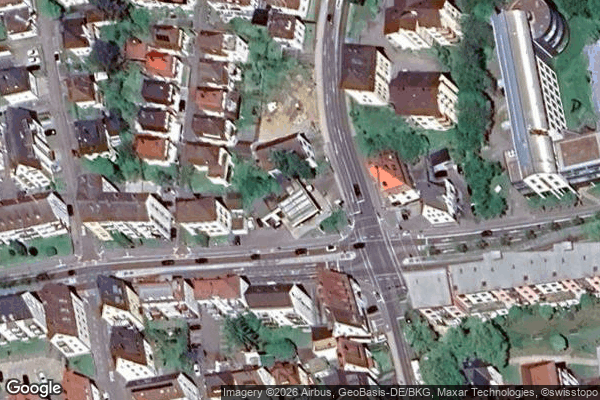
The Latent Coordinate
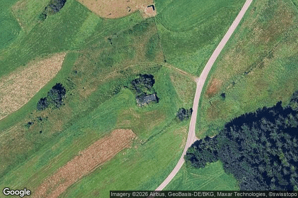
The Mapped Silence

Traces of Mapped Silence
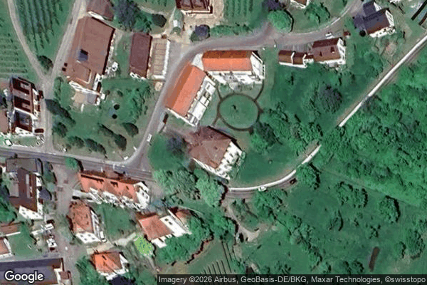
Tracing the Silent Grid
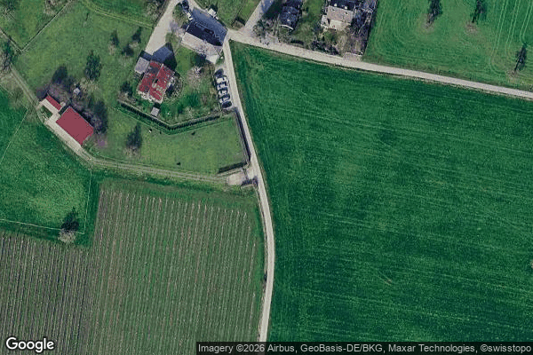
Tunau, Kressbronn am Bodensee
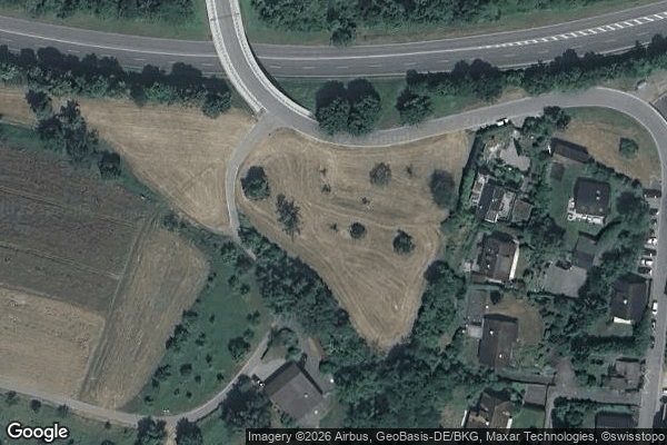
Uberlingen

Uhetsweiler, Neukirch
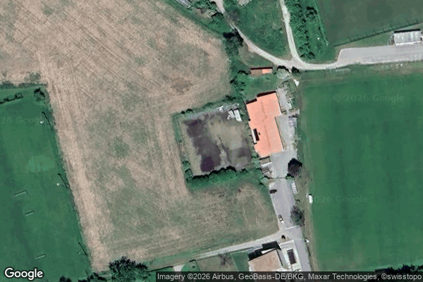
Uhldingen-Muhlhofen

Unterboshasel, Wintersulgen
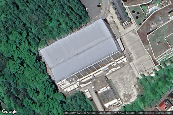
ZF Arena, Friedrichshafen