Urbex Map Sigmaringen
25 abandoned places in Sigmaringen

25
spots
One-time payment - lifetime access
100% Secure Checkout
SSL encrypted · No banking data stored
Regular lifetime updates
Themes included in this pack
All abandoned places in Sigmaringen
25 verified GPS coordinates in the department of Sigmaringen, Baden Wurttemberg, Germany.
Looking for abandoned places in Sigmaringen, Baden Wurttemberg, Germany? Urbex Maps offers 25 verified GPS coordinates of abandoned buildings in this area, including Ruins, Castles, Mills, Abandoned houses, Bridges.
25
verified spots
GPS
Google Maps, Waze
September 2026
last update
Where to find abandoned places in Sigmaringen?
The best way to find abandoned places in Sigmaringen is through the interactive urbex map on Urbex Maps with 25 verified GPS coordinates. Top categories are Ruins, Castles, Mills, Abandoned houses, Bridges.
Types of abandoned places in Sigmaringen
Spots in Sigmaringen

Bei der Lohmühle, Veringenstadt (Stadt)
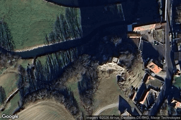
Dietfurt, Vilsingen
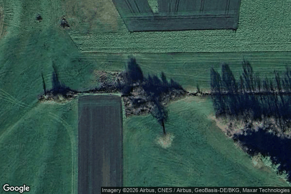
Hipfelsberg, Ennetach

House of the Nerds / Haus des Nerds
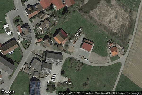
Kalkreute, Ostrach

Laubbach, Unterweiler

Mengen

Mieterkingen, Herbertingen

Pfullendorf

Rast
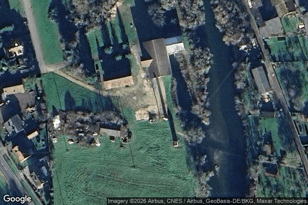
Scheer
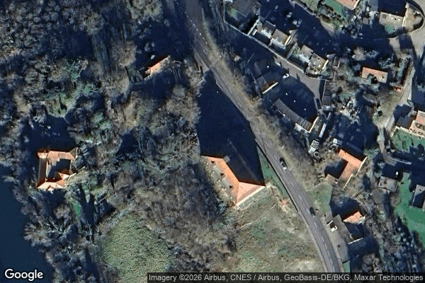
Scheer

Schulstraße, Pfullendorf-Stadt
Shadows of the Grid
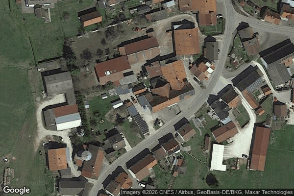
Stetten am kalten Markt
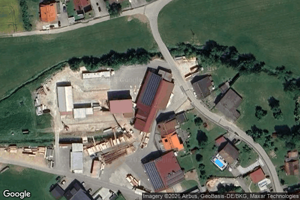
Sägemühle
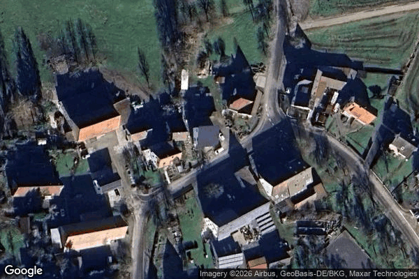
The Geometry of Silence

The Imported Digital Echo

The Latent Coordinate

Thiergarten
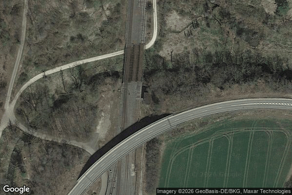
Traces of Mapped Silence
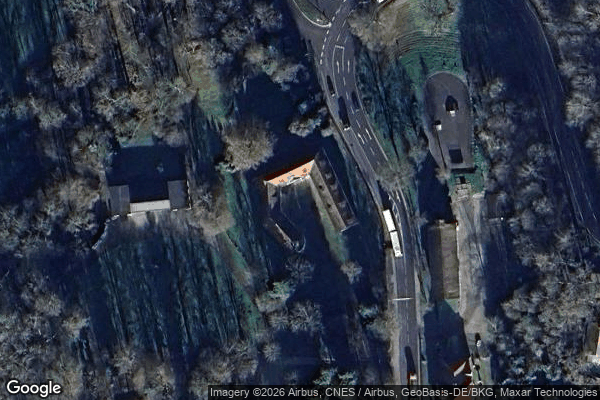
Traces of Mapped Stillness
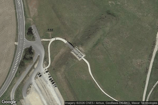
Unmapped Spatial Artifact
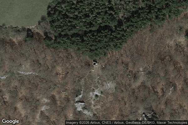
Wartturm, Hausen im Tal
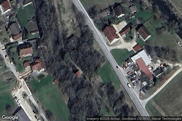
Zum Kräutle, Jungnau