Urbex Map Oldenburg
35 abandoned places in Oldenburg

35
spots
One-time payment - lifetime access
100% Secure Checkout
SSL encrypted · No banking data stored
Regular lifetime updates
Themes included in this pack
All abandoned places in Oldenburg
35 verified GPS coordinates in the department of Oldenburg, Niedersachsen, Germany.
Looking for abandoned places in Oldenburg, Niedersachsen, Germany? Urbex Maps offers 35 verified GPS coordinates of abandoned buildings in this area, including Ruins, Abandoned houses, Military, Bunkers, Abandoned factories, Mills.
35
verified spots
GPS
Google Maps, Waze
September 2026
last update
Where to find abandoned places in Oldenburg?
The best way to find abandoned places in Oldenburg is through the interactive urbex map on Urbex Maps with 35 verified GPS coordinates. Top categories are Ruins, Abandoned houses, Military, Bunkers, Abandoned factories, Mills.
Types of abandoned places in Oldenburg
Spots in Oldenburg
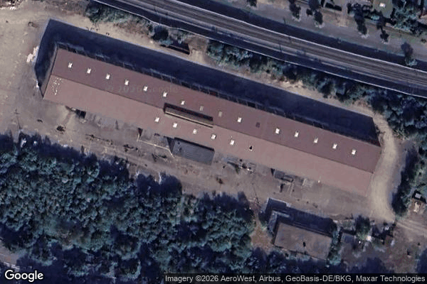
Am Bahndamm, Hude (Oldenburg)

Am Esch, Tungeln

Aumühle, Wildeshausen
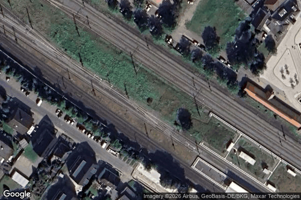
Bahnhofsplatz, Hude (Oldenburg)

Bassmerhoopweg, Kirchseelte

Bei der Bäke, Steinkimmen

Bissel

Brammer, Beckeln

Brummelhoop, Ganderkesee
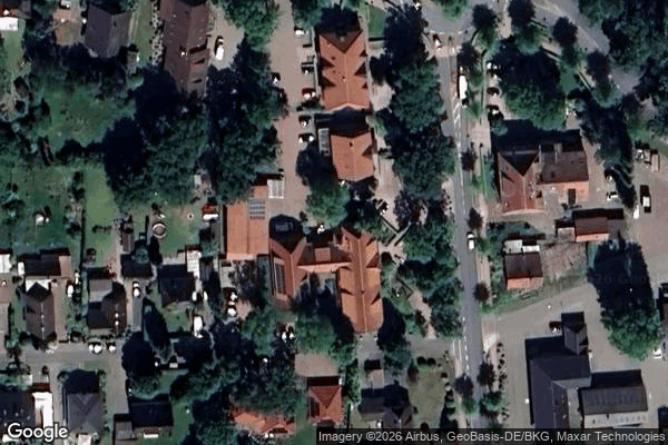
Dotlingen
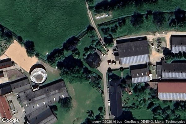
Düngstrup, Wildeshausen

Ganderkesee
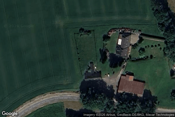
Gross Ippener

Hanstedt, Wildeshausen
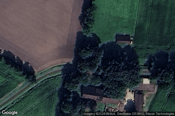
Hatten

Hauptstraße, Kirchhatten

Hude (Oldenburg)

Iburg, Wardenburg

Kleinenkneten, Wildeshausen

Kleinenkneten, Wildeshausen
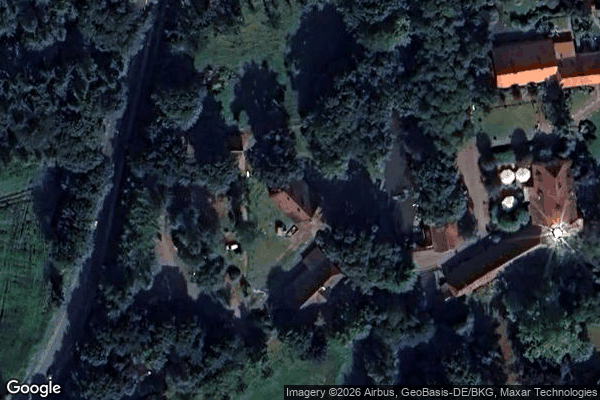
Kreativzentrum Volkshochschule, Hude (Oldenburg)

Lemmel, Lintel

Marderweg, Sandkrug

Reiherweg, Wardenburg

Sahren, Schönemoor

Shadows of the Grid

Shadows of the Grid

Shadows of the Grid
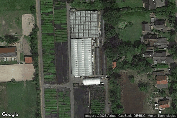
Südmoslesfehn

Tannenkamp, Huntlosen
Traced in Digital Dust
Traces of Imported Shadows
Traces of Migrated Geometry

Unter den Buchen, Sage
Wildeshausen