Urbex Map Eisenach
31 abandoned places in Eisenach

31
spots
One-time payment - lifetime access
100% Secure Checkout
SSL encrypted · No banking data stored
Regular lifetime updates
Themes included in this pack
All abandoned places in Eisenach
31 verified GPS coordinates in the department of Eisenach, Thuringen, Germany.
Looking for abandoned places in Eisenach, Thuringen, Germany? Urbex Maps offers 31 verified GPS coordinates of abandoned buildings in this area, including Ruins, Abandoned factories, Mills, Schools.
31
verified spots
GPS
Google Maps, Waze
September 2026
last update
Where to find abandoned places in Eisenach?
The best way to find abandoned places in Eisenach is through the interactive urbex map on Urbex Maps with 31 verified GPS coordinates. Top categories are Ruins, Abandoned factories, Mills, Schools.
Types of abandoned places in Eisenach
Spots in Eisenach

(Ruine) Wartburg-Waldbühne

Adelheidstraße, Eisenach

Alte Poststraße, Stregda

Altstadtstraße, Eisenach

Am Stadtweg, Stregda

Am Wiesengrund, Eisenach

Betonquader mit Tier-Grafittis, Stregda
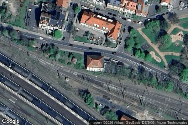
Clemensstraße, Eisenach

Drachenschlucht, Eisenach

Dürrerhof, Stockhausen

Eisenach
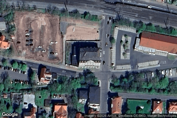
Eisenach

Gefilde, Eisenach

Hohe Sonne, Eisenach

Hötzelsroda
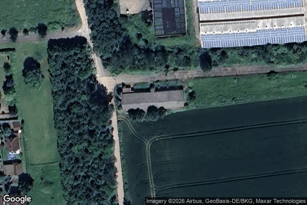
Im Bodenfeld, Stockhausen

Luisenstraße, Eisenach
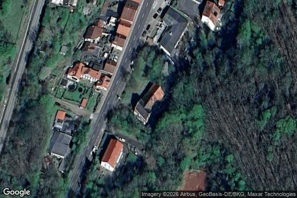
Männersiechenheim Clemensstift
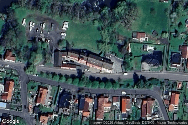
Neue Mühle

Rennbahn, Eisenach

Schlachthofstraße, Eisenach

Schlachthofstraße, Eisenach
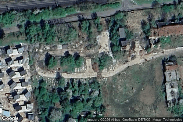
Shadows of Imported Geometry

Staatliches Berufsschulzentrum „Heinrich Ehrhardt“ Schulteil 2, Stedtfeld
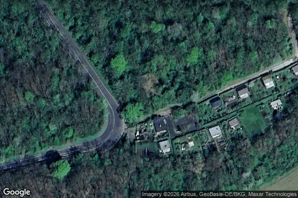
The Geometry of Silence

The Imported Silent Geometry

Vertices of the Unknown

Wartburgallee, Eisenach

Wartburgallee, Eisenach

Wartburgallee, Eisenach
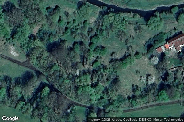
ehem. Bleiweißfarben-Fabrik