Urbex Map Houten
30 abandoned places in Houten

30
spots
One-time payment - lifetime access
100% Secure Checkout
SSL encrypted · No banking data stored
All abandoned places in Houten
30 verified GPS coordinates in the department of Houten, Utrecht, Netherlands.
Looking for abandoned places in Houten, Utrecht, Netherlands? Urbex Maps offers 30 verified GPS coordinates of abandoned buildings in this area, including Military, Bunkers, Forts, Ruins.
30
verified spots
GPS
Google Maps, Waze
September 2026
last update
Where to find abandoned places in Houten?
The best way to find abandoned places in Houten is through the interactive urbex map on Urbex Maps with 30 verified GPS coordinates. Top categories are Military, Bunkers, Forts, Ruins.
Types of abandoned places in Houten
Spots in Houten
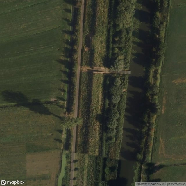
Gedekte Gemeenschapsweg, Schalkwijk

Gedekte Gemeenschapsweg, Schalkwijk

Groepsschuilplaats (NHW), Houten

Honswijk, Schalkwijk

Honswijk, Schalkwijk

Honswijk, Schalkwijk

Honswijk, Schalkwijk

Honswijk, Schalkwijk

Honswijk, Schalkwijk
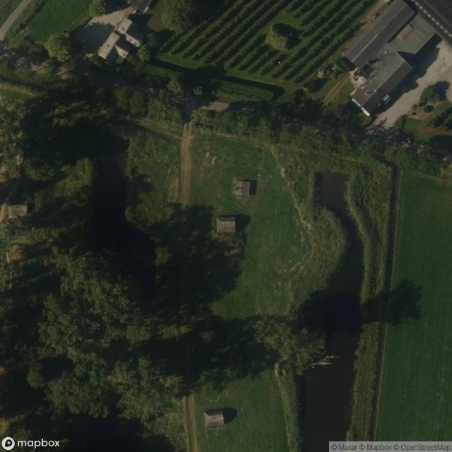
Honswijk, Schalkwijk

Lange Uitweg, Tull en 't Waal
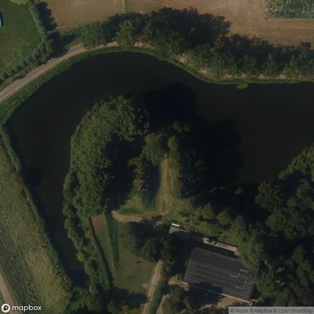
Lekdijk, Schalkwijk

O 10, Schalkwijk
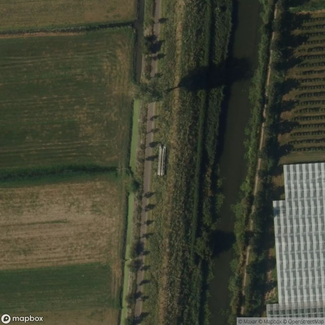
The Latent Geometry

Walmolen, Houten

Wayen, Houten

Wayen, Houten

Wayen, Houten

Wayen, Houten

Wayen, Houten

Wayen, Houten

Werk aan de Groeneweg, Schalkwijk

Werk aan de Groeneweg, Schalkwijk

Werk aan de Groeneweg, Schalkwijk

Werk aan de Groeneweg, Schalkwijk

Werk aan de Groeneweg, Schalkwijk

Werk aan de Groeneweg, Schalkwijk

Werk aan de Groeneweg, Schalkwijk

Werk aan de Groeneweg, Schalkwijk
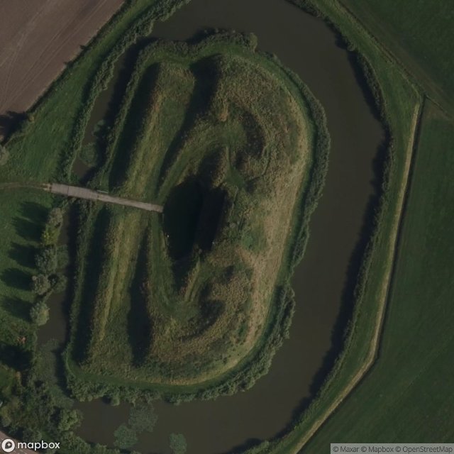
Werk aan de Waalse Wetering
Urbex FAQ for Houten, Netherlands
Is urban exploration legal in Houten, Netherlands?+
What types of abandoned places can I find in Houten, Netherlands?+
How do I use the GPS coordinates I've purchased?+
How many abandoned places are listed in Houten, Netherlands?+
What's the best season for exploring in Houten, Netherlands?+
What our articles say about these places
Na de capitulatie van 1940 stelden de Duitsers het werk buiten gebruik en metselden ze de schuilplaatsen dicht . Daarna raakte het terrein overwoekerd. Eigenaar Staatsbosbeheer herstelde het tussen 2013 en 2014 in originele staat, zodat je nu via een vrij toegankelijke belevingsroute langs de loopgraven en tientalle…Read the article : Urbex Utrecht: 6 abandoned places →
