Urbex Map Bath And North East Somerset
16 abandoned places in Bath And North East Somerset

16
spots
One-time payment - lifetime access
100% Secure Checkout
SSL encrypted · No banking data stored
Regular lifetime updates
All abandoned places in Bath And North East Somerset
16 verified GPS coordinates in the department of Bath And North East Somerset, England, United Kingdom.
Looking for abandoned places in Bath And North East Somerset, England, United Kingdom? Urbex Maps offers 16 verified GPS coordinates of abandoned buildings in this area, including Ruins, Churches, Abandoned railways, Caves, Castles, Farms.
16
verified spots
GPS
Google Maps, Waze
September 2026
last update
Where to find abandoned places in Bath And North East Somerset?
The best way to find abandoned places in Bath And North East Somerset is through the interactive urbex map on Urbex Maps with 16 verified GPS coordinates. Top categories are Ruins, Churches, Abandoned railways, Caves, Castles, Farms.
Types of abandoned places in Bath And North East Somerset
Spots in Bath And North East Somerset

Bath

Bath ammo tunnels

Bathford

Belluton, Pensford
![Dead Spot - Ali Baba's cave [GBR]](/api/images/00c6617ef6b0564c)
Dead Spot - Ali Baba's cave [GBR]

Disused mines, Bathampton

Hallatrow, High Littleton

Midsomer Norton

Paulton

Radstock

Ralph Allen’s Sham Castle, Bathampton

Ridge, West Harptree

Stanton Drew, Chew Magna
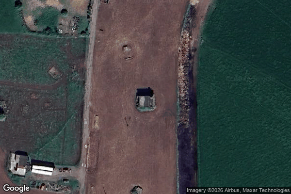
Tadwick, Batheaston
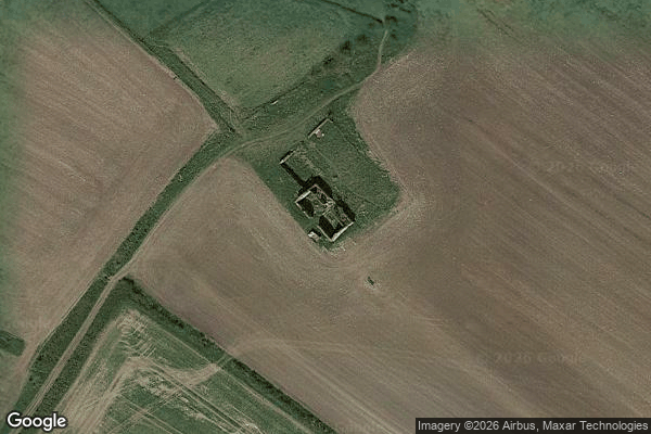
Wellow

Withy Mills, Paulton