Urbex Map Derbyshire
77 abandoned places in Derbyshire

77
spots
One-time payment - lifetime access
100% Secure Checkout
SSL encrypted · No banking data stored
Regular lifetime updates
All abandoned places in Derbyshire
77 verified GPS coordinates in the department of Derbyshire, England, United Kingdom.
Looking for abandoned places in Derbyshire, England, United Kingdom? Urbex Maps offers 77 verified GPS coordinates of abandoned buildings in this area, including Ruins, Abandoned houses, Farms, Churches, Bridges, Mines.
77
verified spots
GPS
Google Maps, Waze
September 2026
last update
Where to find abandoned places in Derbyshire?
The best way to find abandoned places in Derbyshire is through the interactive urbex map on Urbex Maps with 77 verified GPS coordinates. Top categories are Ruins, Abandoned houses, Farms, Churches, Bridges, Mines.
Types of abandoned places in Derbyshire
Spots in Derbyshire

Ashop Clough Cabin

Ashopton, High Peak

Baslow

Baslow

Baslow

Bateman's House

Beeley CP

Beighton

Belper

Boeing B29

Bolehill

Bolsover

Borrowash

Bretby Colliery Winding House
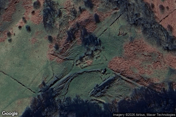
Bretton Clough Farm ruins

Calton Lees, Edensor CP

Care Home

Castleton

Coalpit Hill

Darley Dale

Darley Hillside

Darley Hillside

Drakelow Hall Gardens

Former Dinting Railway Centre

Grindleford

Haddon Estate Woodland Walk, Bakewell CP

Hathersage

Hayfield

Heage

High Peak

High Peak

Holmesfield

Hope

Jubilee Cottages, High Peak

King Sterndale, Buxton
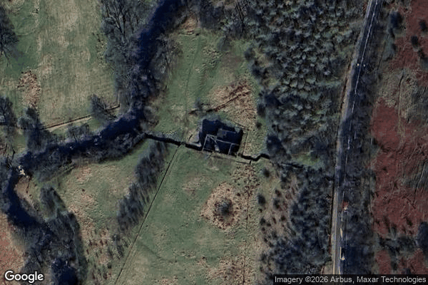
Longley Barn

Mandale Mine

Melbourne

Muse Mine
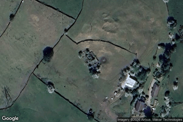
New Mills

North East Derbyshire
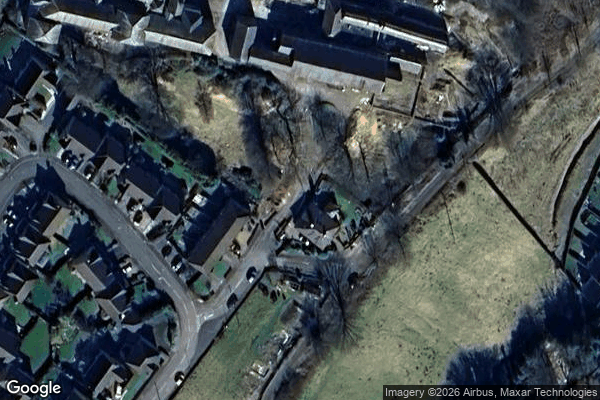
Nurse's garter belt
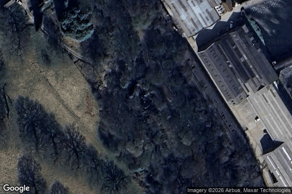
Oakhurst House

Pub/church

Ramsley Lodge
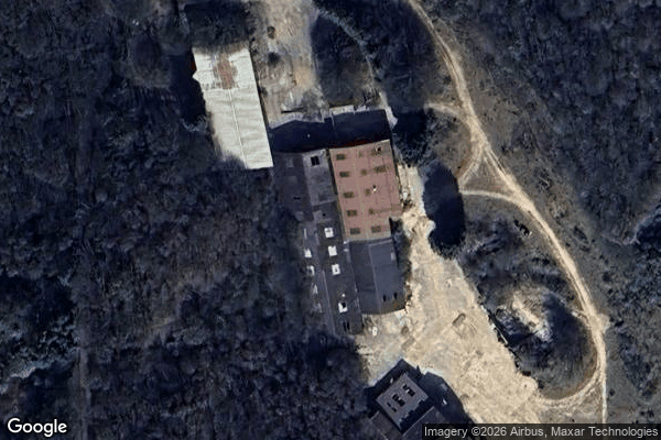
Realstone Limited

Rosliston

Shirebrook

Sutton Scarsdale Hall

Swadlincote

Swadlincote

Swadlincote
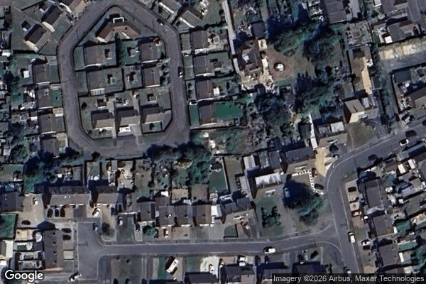
Swadlincote

Swadlincote

TG Green & Co Pottery Works

The Abbey

The Apollo inn

The Ghost Farm

The royal hotel

Theatre
+ 17 more spots
Urbex FAQ for Derbyshire, United Kingdom
Is urban exploration legal in Derbyshire, United Kingdom?+
What types of abandoned places can I find in Derbyshire, United Kingdom?+
How do I use the GPS coordinates I've purchased?+
How many abandoned places are listed in Derbyshire, United Kingdom?+
What's the best season for exploring in Derbyshire, United Kingdom?+
What our articles say about these places
La centrale A a fermé en 1995 et la B en 1999, et les bâtiments ont été démantelés vers 2000, ne laissant que les tours hyperboloïdes comme repère régional. La démolition a été accordée puis abandonnée à plusieurs reprises, un permis de 2017 est devenu caduc et un projet de centrale à gaz s'est enlisé, tandis qu'un …Read the article : Abandoned Places in the UK: Top 10 Urbex →
