Urbex Map North Yorkshire
115 abandoned places in North Yorkshire

115
spots
One-time payment - lifetime access
100% Secure Checkout
SSL encrypted · No banking data stored
Regular lifetime updates
Themes included in this pack
All abandoned places in North Yorkshire
115 verified GPS coordinates in the department of North Yorkshire, England, United Kingdom.
Looking for abandoned places in North Yorkshire, England, United Kingdom? Urbex Maps offers 115 verified GPS coordinates of abandoned buildings in this area, including Ruins, Mines, Farms, Abandoned houses, Mills, Abandoned factories.
115
verified spots
GPS
Google Maps, Waze
September 2026
last update
Where to find abandoned places in North Yorkshire?
The best way to find abandoned places in North Yorkshire is through the interactive urbex map on Urbex Maps with 115 verified GPS coordinates. Top categories are Ruins, Mines, Farms, Abandoned houses, Mills, Abandoned factories.
Types of abandoned places in North Yorkshire
Spots in North Yorkshire

A684, Morton-on-Swale
Abandoned Shop

Askrigg
Barnoldswick
Blubberhouses

Booze
Breaking farm

Buckden Rake, Buckden
Burhill Limekiln

Café Thorntons
Castle gateway

Clifton
Cold Cotes, Ingleton

Conistone
Cowling
Crumacre Laithe

Dale Head Lathe, Skyreholme
Druid's Temple
Follifoot Mill
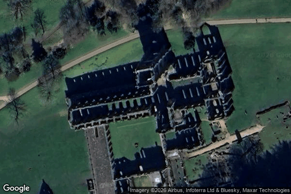
Fountains Abbey, Ripon

Friars' Closes, Richmond
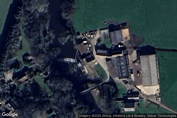
Goldsborough Mill

Grassington
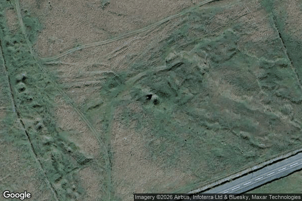
Green Knoll Limekiln
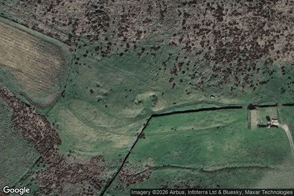
Greenhow Hill, Pateley Bridge
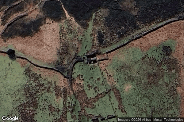
Guisborough
Hartwith cum Winsley
Hay Shaw
Helmsley
High Barn, Airton

Horton in Ribblesdale

Ickornshaw
Ilkley
Katch, Northallerton
Keld
Knaresborough

Lead Smelter

Levisham Church Ruins
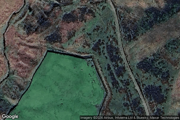
Limekiln

Low Eskeleth
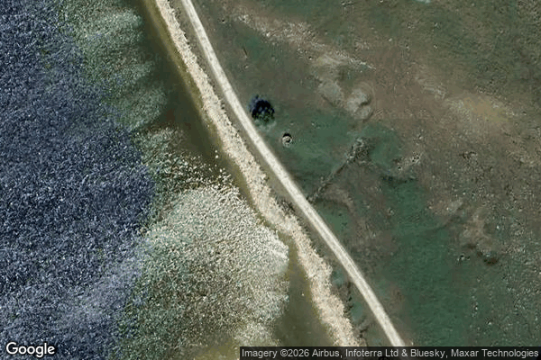
Low Trenhouse
Malham

Malham Rakes, Malham

Mallerstang, Hawes
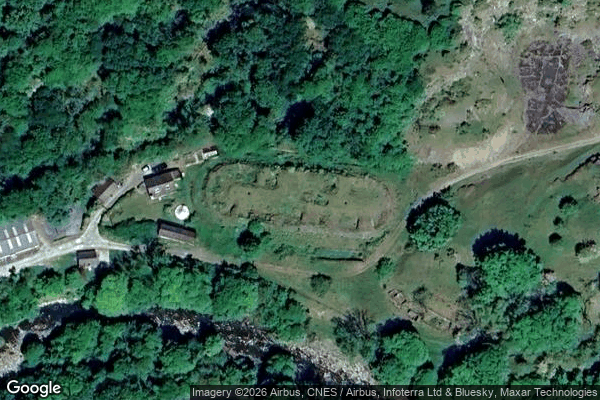
Meal Bank Hoffmann kiln

Middle Skyreholme, Skyreholme

Middleton
Moorcock Hall
Muker

Muker

Muker

Muker
Old Radio Mast

Otterburn, Airton
Ouse Bank, Selby

Ouse Bank, Selby
Pannal

Pennine Way, Cowling
Pineheath mansion
Retro36
+ 55 more spots