Urbex Map Oxfordshire
28 abandoned places in Oxfordshire

28
spots
One-time payment - lifetime access
100% Secure Checkout
SSL encrypted · No banking data stored
Regular lifetime updates
Themes included in this pack
All abandoned places in Oxfordshire
28 verified GPS coordinates in the department of Oxfordshire, England, United Kingdom.
Looking for abandoned places in Oxfordshire, England, United Kingdom? Urbex Maps offers 28 verified GPS coordinates of abandoned buildings in this area, including Ruins, Churches, Abandoned houses, Manors, Farms, Military.
28
verified spots
GPS
Google Maps, Waze
September 2026
last update
Where to find abandoned places in Oxfordshire?
The best way to find abandoned places in Oxfordshire is through the interactive urbex map on Urbex Maps with 28 verified GPS coordinates. Top categories are Ruins, Churches, Abandoned houses, Manors, Farms, Military.
Types of abandoned places in Oxfordshire
Spots in Oxfordshire
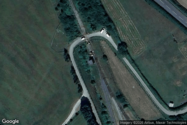
Arncott Signal Box
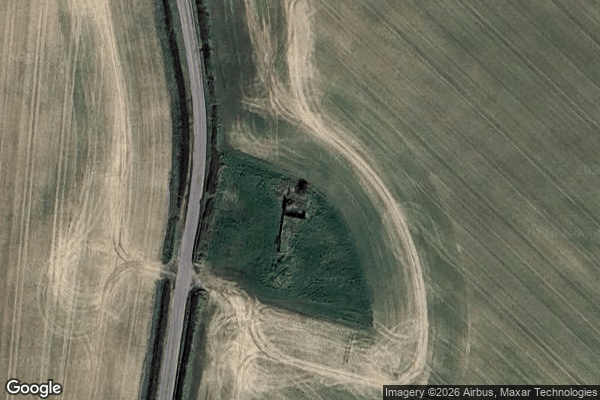
Barrowbush Barn
Boar’s hill RoC outpost
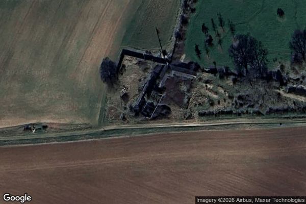
Charlbury

Claydon
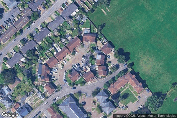
Cowley
![Dead Spot - College Carmel [GBR]](/api/images/13e2be96c808c265)
Dead Spot - College Carmel [GBR]
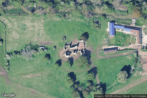
Hampton Gay Manor

Launton
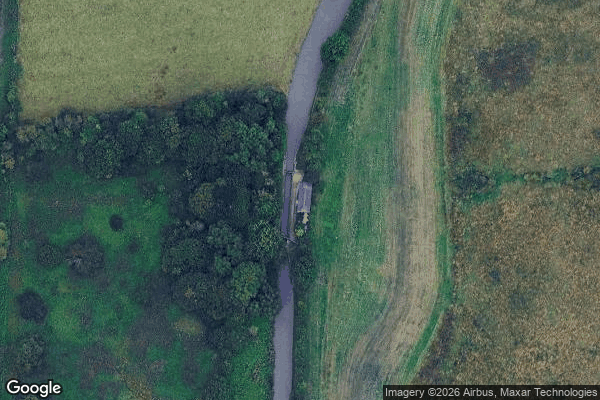
Little Bourton

MT Yard, Launton
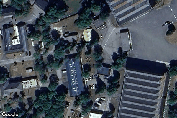
MT Yard, Launton
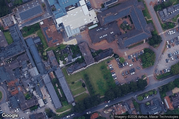
Nuffield House
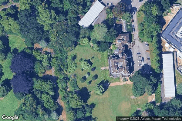
Old Headgington Hill Hall pool
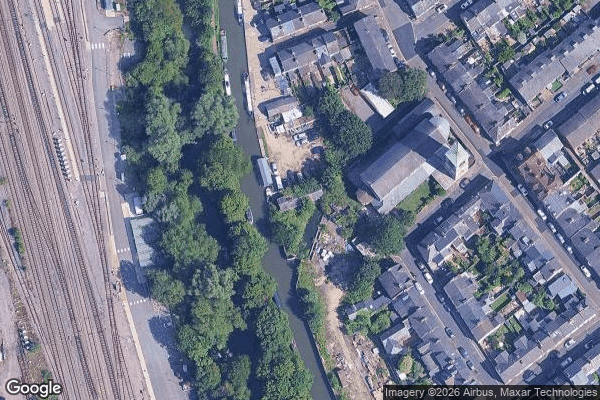
Oxford

Oxford
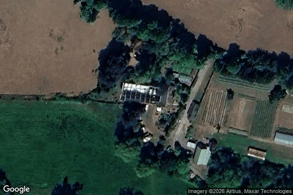
Pangbourne
Queen's Tower
RAF Mount Farm Air Raid Shelter
Randolph Street Mews

Remains of St Nicholas's College

Rotherfield Peppard
St James Church, Bix Brand
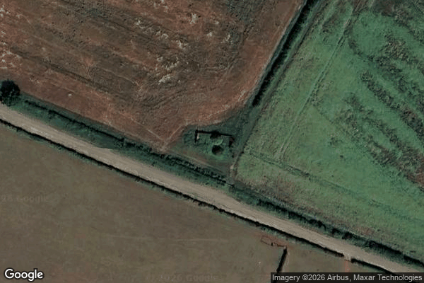
Wardington
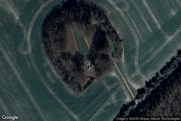
Wayland's Smithy, Ashbury
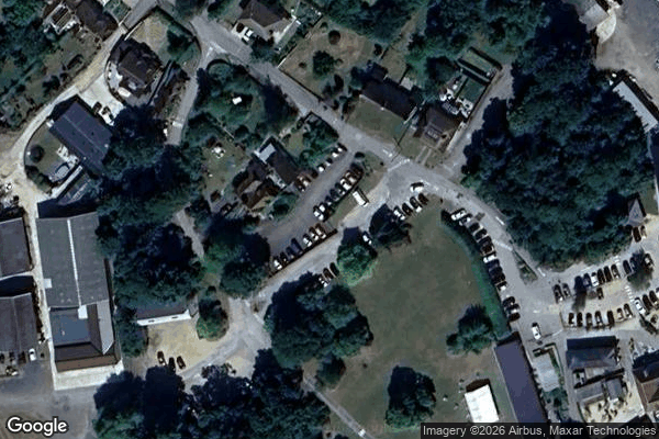
Wheatley
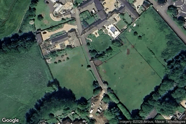
Witney

Yarnton Sewage Works