Urbex Map Monmouthshire
25 abandoned places in Monmouthshire

25
spots
One-time payment - lifetime access
100% Secure Checkout
SSL encrypted · No banking data stored
Regular lifetime updates
Themes included in this pack
- Ruins
- Castles
- Monasteries
- Churches
- Abandoned factories
- Schools
- Mills
- Cemeteries
All abandoned places in Monmouthshire
25 verified GPS coordinates in the department of Monmouthshire, Wales, United Kingdom.
Looking for abandoned places in Monmouthshire, Wales, United Kingdom? Urbex Maps offers 25 verified GPS coordinates of abandoned buildings in this area, including Ruins, Castles, Monasteries, Churches, Abandoned factories, Schools.
25
verified spots
GPS
Google Maps, Waze
September 2026
last update
Where to find abandoned places in Monmouthshire?
The best way to find abandoned places in Monmouthshire is through the interactive urbex map on Urbex Maps with 25 verified GPS coordinates. Top categories are Ruins, Castles, Monasteries, Churches, Abandoned factories, Schools.
Types of abandoned places in Monmouthshire
- Ruins
- Castles
- Monasteries
- Churches
- Abandoned factories
- Schools
- Mills
- Cemeteries
Spots in Monmouthshire
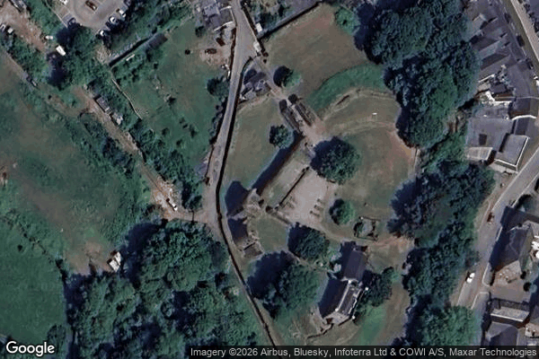
Abergavenny

Abergavenny

Archbishop Rowan Williams CIW School, Portskewett
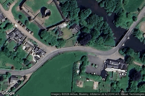
B4521, Skenfrith
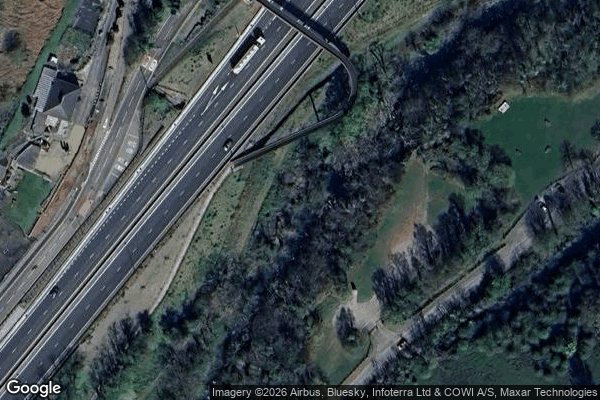
Blackrock, Darrenfelen

Chepstow
Dewstow Golf Club (disused)
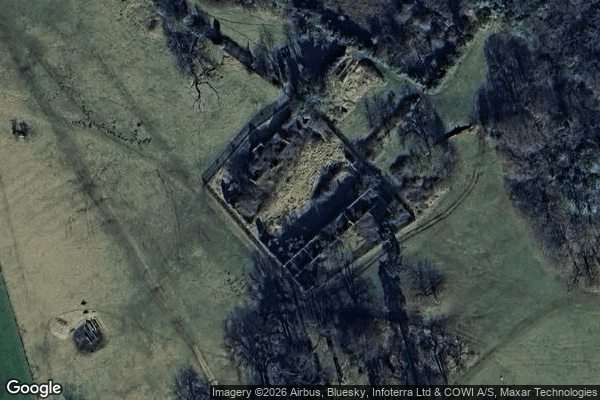
Footpath to Piercefield Park, Chepstow

Govilon

Grosmont

Llanarth
Llancillo
Mitchel Troy
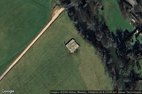
Monmouth

Monmouth
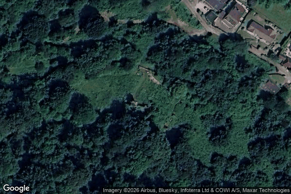
Old church and cemetery
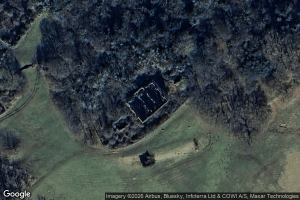
Piercefield House, Chepstow

Porth-gwyn

Priordy Llanddewi Nant Hodni, Llanthony

Raglan Castle, Raglan

Tintern

Tintern
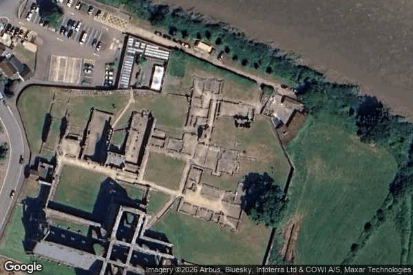
Tintern

Usk
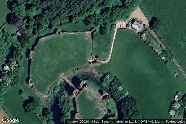
White Castle's Outer Gatehouse