Urbex Map Algoma
20 abandoned places in Algoma

20
spots
One-time payment - lifetime access
100% Secure Checkout
SSL encrypted · No banking data stored
Regular lifetime updates
Themes included in this pack
- Schools
- Lighthouses
- Train stations
- Mines
- Ruins
- Abandoned houses
All abandoned places in Algoma
20 verified GPS coordinates in the department of Algoma, Ontario, Canada.
Looking for abandoned places in Algoma, Ontario, Canada? Urbex Maps offers 20 verified GPS coordinates of abandoned buildings in this area, including Schools, Lighthouses, Train stations, Mines, Ruins, Abandoned houses.
20
verified spots
GPS
Google Maps, Waze
September 2026
last update
Where to find abandoned places in Algoma?
The best way to find abandoned places in Algoma is through the interactive urbex map on Urbex Maps with 20 verified GPS coordinates. Top categories are Schools, Lighthouses, Train stations, Mines, Ruins, Abandoned houses.
Types of abandoned places in Algoma
- Schools
- Lighthouses
- Train stations
- Mines
- Ruins
- Abandoned houses
Spots in Algoma

Emergency Swing Bridge Dan, Sault Ste. Marie
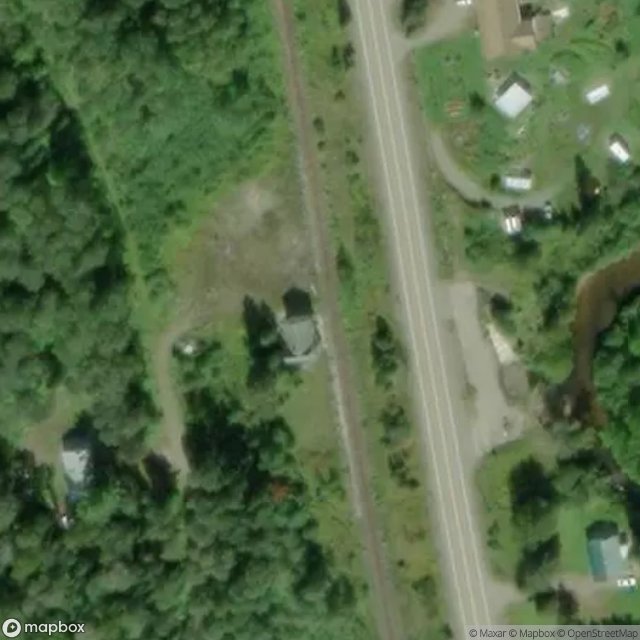
Former Searchmont Train Station

Highway 17, Bruce Mines
Highway 17, Unorganized North Algoma

Highway 638, Plummer Additional Township

Highway 638, Plummer Additional Township
Highway 639, Unorganized North Algoma
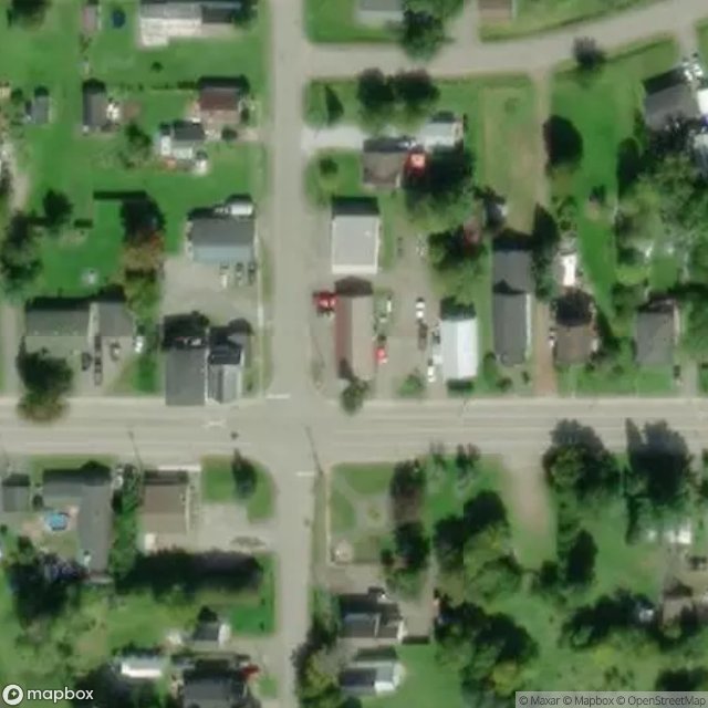
Lake Street Nourth, Macdonald, Meredith and Aberdeen Additional Township

Lighthouse Keepers House
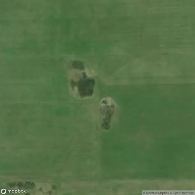
McCarrel Lake Road, Macdonald, Meredith and Aberdeen Additional Township
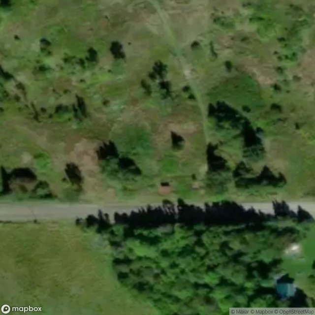
Plummer Additional Township

Sault Ste. Marie
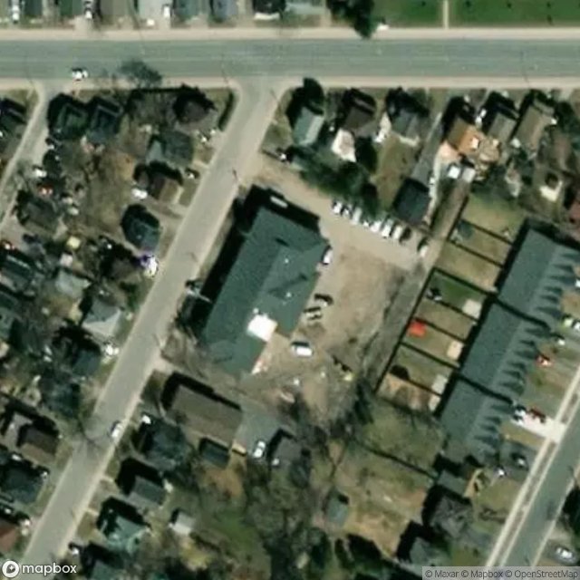
Sault Ste. Marie
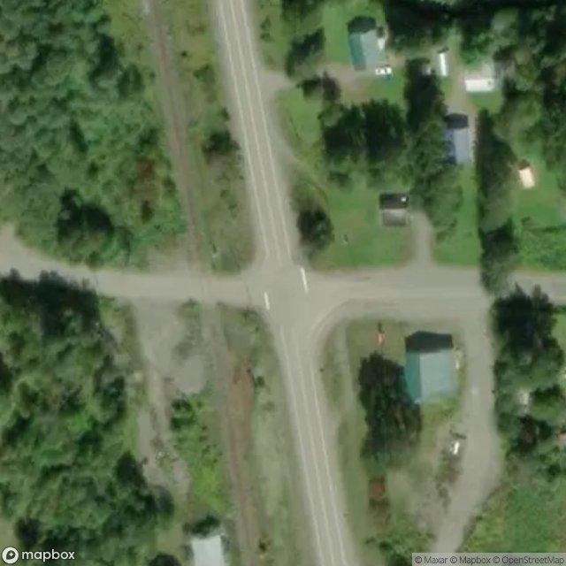
Searchmont, Unorganized North Algoma

The Geometry of Shadows
Traced from the Void
Unorganized North Algoma
Unorganized North Algoma

Wawa
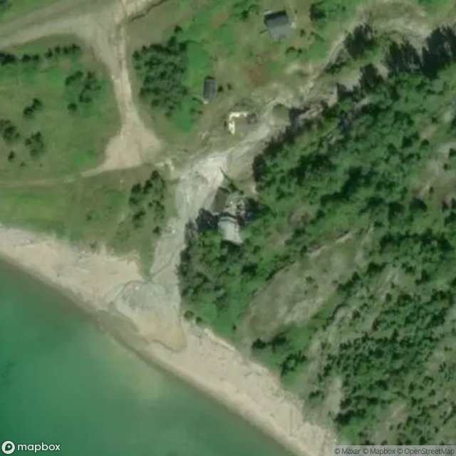
Wawa