Urbex Map Barnstable
15 abandoned places in Barnstable

15
spots
One-time payment - lifetime access
Regular lifetime updates
Themes included in this pack
- Abandoned railways
- Lighthouses
- Ruins
- Train stations
All abandoned places in Barnstable
15 verified GPS coordinates in the department of Barnstable, Massachusetts, United States.
Looking for abandoned places in Barnstable, Massachusetts, United States? Urbex Maps offers 15 verified GPS coordinates of abandoned buildings in this area, including Abandoned railways, Lighthouses, Ruins, Train stations.
15
verified spots
GPS
Google Maps, Waze
September 2026
last update
Where to find abandoned places in Barnstable?
The best way to find abandoned places in Barnstable is through the interactive urbex map on Urbex Maps with 15 verified GPS coordinates. Top categories are Abandoned railways, Lighthouses, Ruins, Train stations.
Types of abandoned places in Barnstable
- Abandoned railways
- Lighthouses
- Ruins
- Train stations
Spots in Barnstable
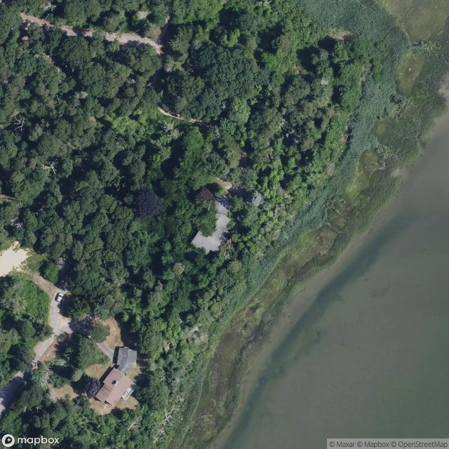
Eastham

Eastham Train Depot and Water Tower, Eastham
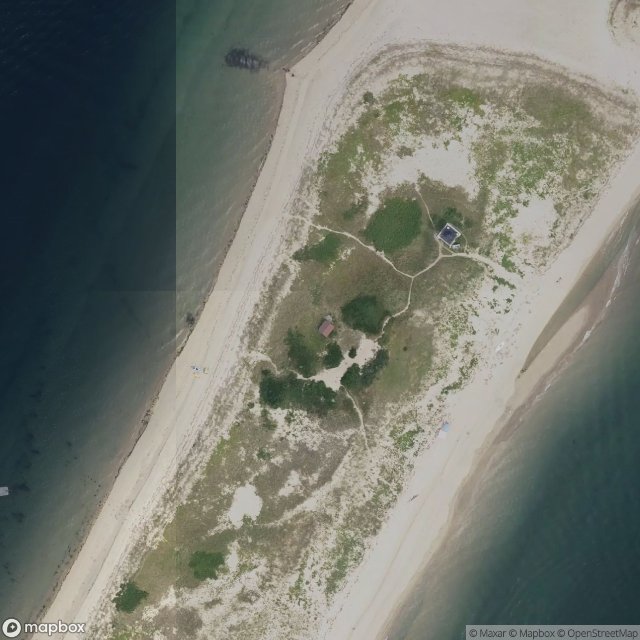
MacMillan Wharf, Provincetown
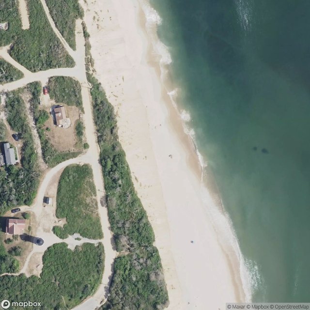
Original Location of Nauset Lighthouse Prior to 1996
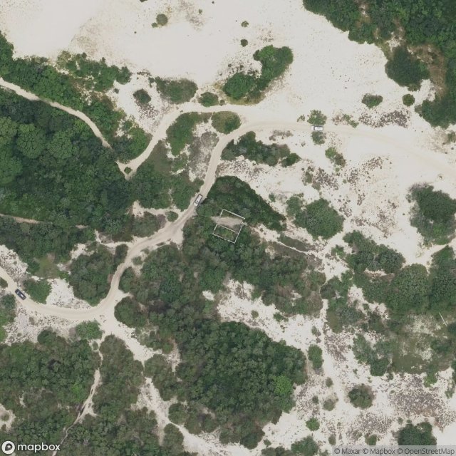
Peaked Hill Bars Lifesaving Station

Pleasant Lake, Harwich
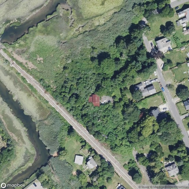
Sandwich
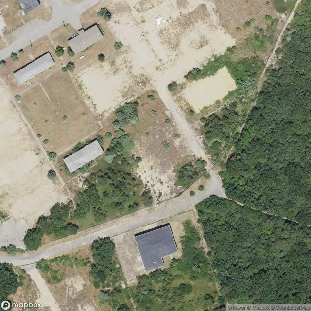
Seacliff Way, Truro

The Imported Ghost Vector

Tomahawk Trail, Eastham

Tomahawk Trail, Eastham
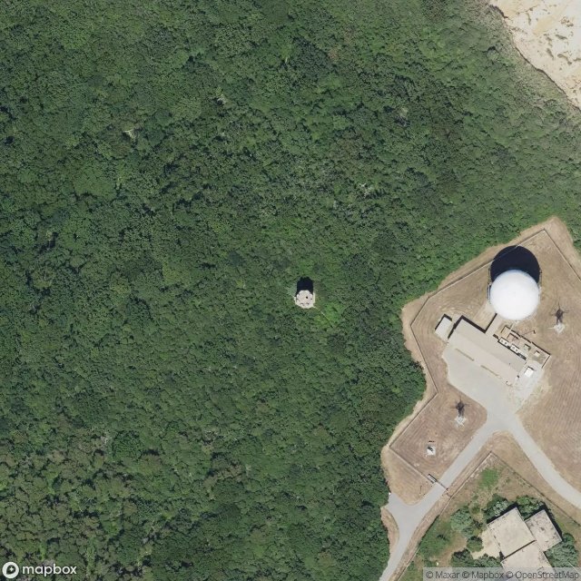
Traces of Imported Geometry
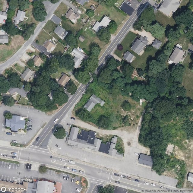
West Yarmouth

Wilson Boulevard, Truro
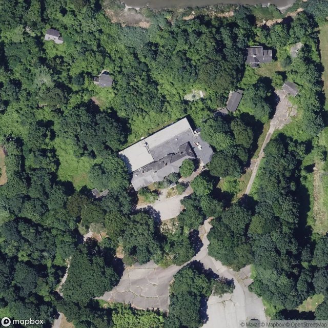
Yarmouth Port, Yarmouth