Urbex Map Rockingham
14 abandoned places in Rockingham

14
spots
One-time payment - lifetime access
All abandoned places in Rockingham
14 verified GPS coordinates in the department of Rockingham, New Hampshire, United States.
Looking for abandoned places in Rockingham, New Hampshire, United States? Urbex Maps offers 14 verified GPS coordinates of abandoned buildings in this area, including Ruins, Farms, Bunkers, Forts.
14
verified spots
GPS
Google Maps, Waze
September 2026
last update
Where to find abandoned places in Rockingham?
The best way to find abandoned places in Rockingham is through the interactive urbex map on Urbex Maps with 14 verified GPS coordinates. Top categories are Ruins, Farms, Bunkers, Forts.
Types of abandoned places in Rockingham
Spots in Rockingham
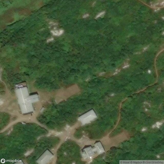
Bartels Hall, Kittery
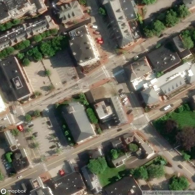
Daily Times Building

East Kingston

Fort Dearborn
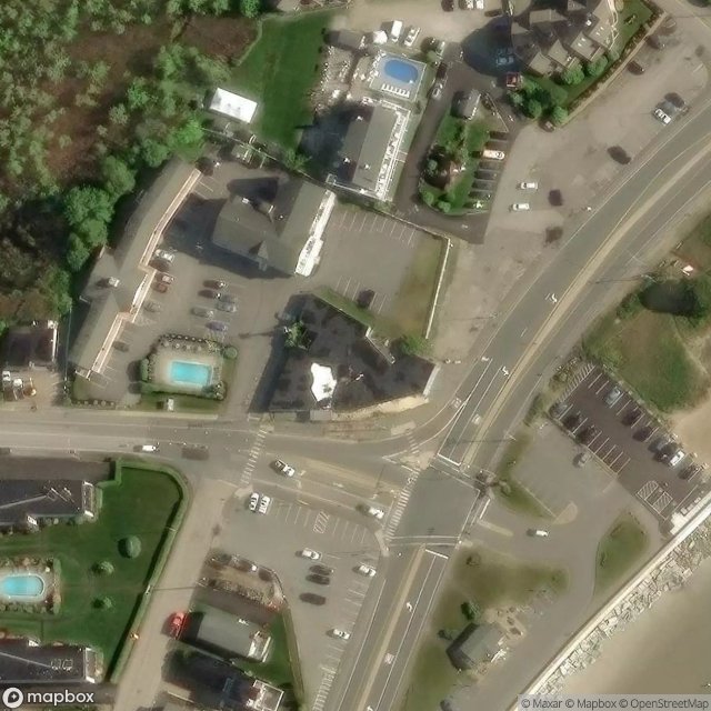
Hampton Beach
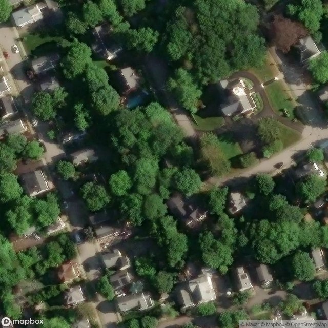
Little Free Library, Portsmouth
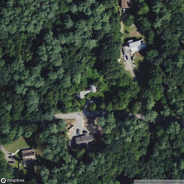
Londonderry

Newmarket
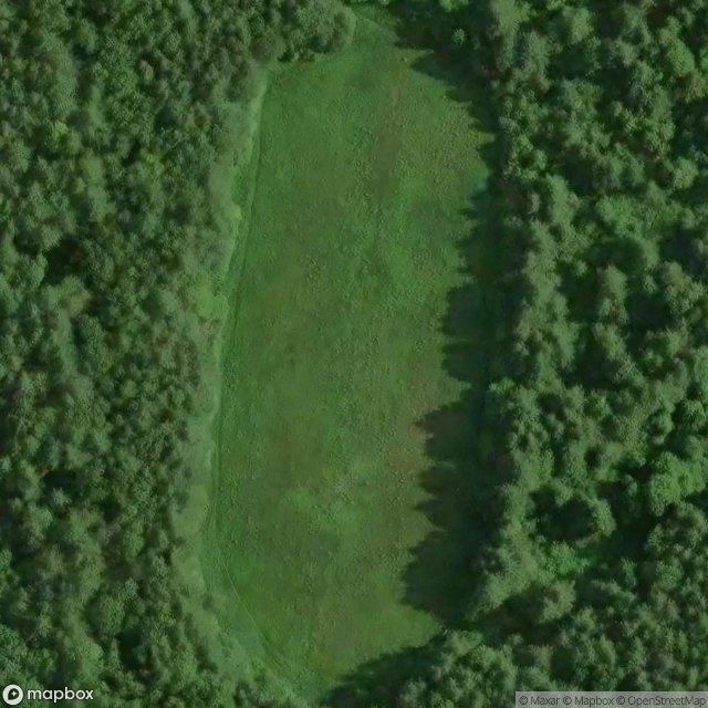
Orchard Trail, Exeter

Sagamore Grove, Portsmouth
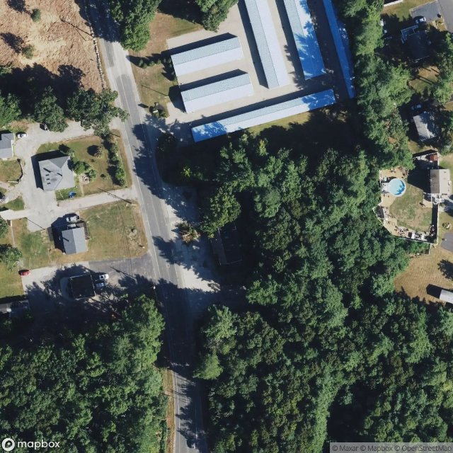
The Plotted Silence

Turntable pit
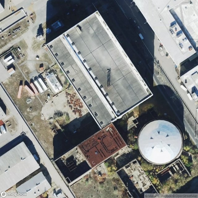
Unit 2
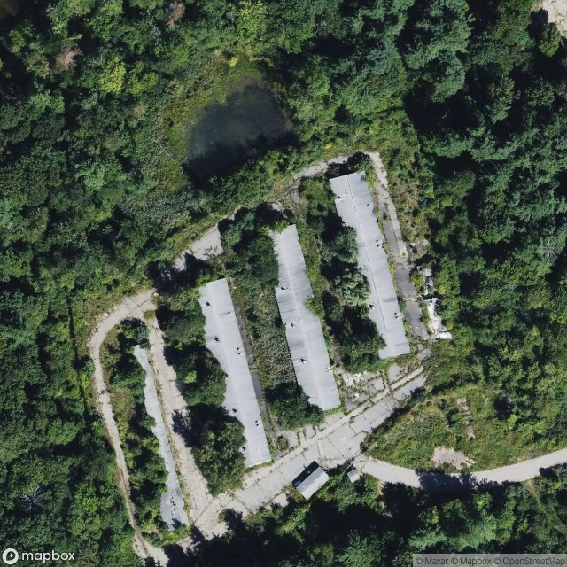
Weare Corner, Seabrook