Urbex Map Wake
36 abandoned places in Wake

36
spots
One-time payment - lifetime access
Regular lifetime updates
Themes included in this pack
- Abandoned railways
- Manors
- Bridges
- Ruins
All abandoned places in Wake
36 verified GPS coordinates in the department of Wake, North Carolina, United States.
Looking for abandoned places in Wake, North Carolina, United States? Urbex Maps offers 36 verified GPS coordinates of abandoned buildings in this area, including Abandoned railways, Manors, Bridges, Ruins.
36
verified spots
GPS
Google Maps, Waze
September 2026
last update
Where to find abandoned places in Wake?
The best way to find abandoned places in Wake is through the interactive urbex map on Urbex Maps with 36 verified GPS coordinates. Top categories are Abandoned railways, Manors, Bridges, Ruins.
Types of abandoned places in Wake
- Abandoned railways
- Manors
- Bridges
- Ruins
Spots in Wake
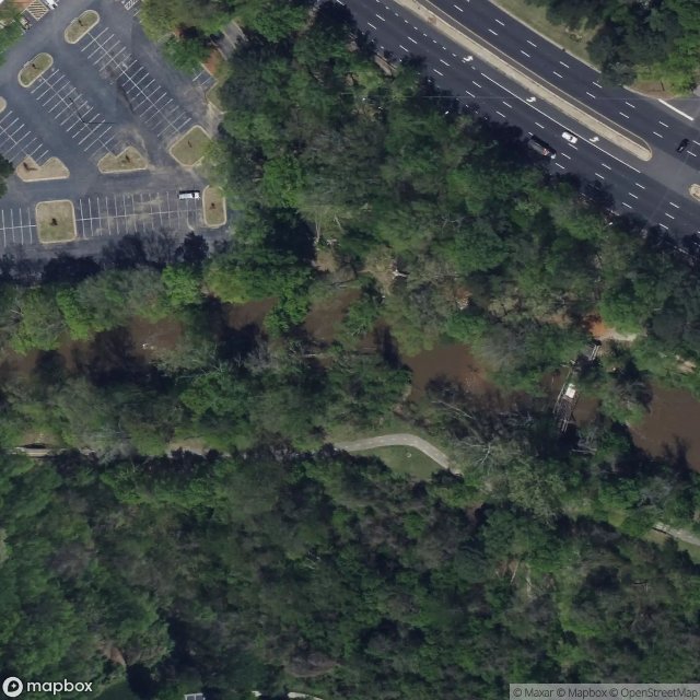
Abandoned Steel Bridge

Avent Ferry Road
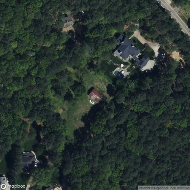
Black Horse Run, Raleigh

Burlington Mills Plant Facility

Claude E. Pope Memorial Highway, Cary

Fayetteville Road

Fuquay-Varina
Garner

Green Level West Road

Green Level, Cary
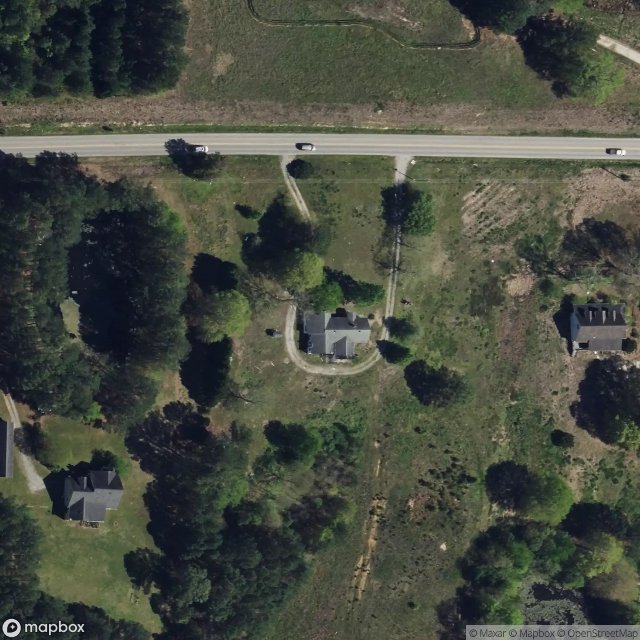
Green Level, Cary

Holly Springs
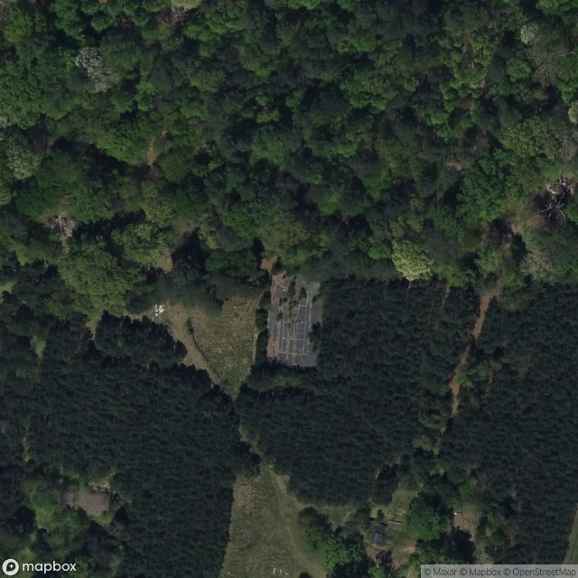
Honeycutt Creek Greenway
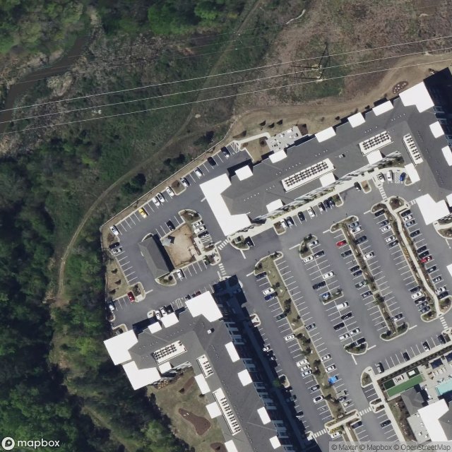
Knightdale
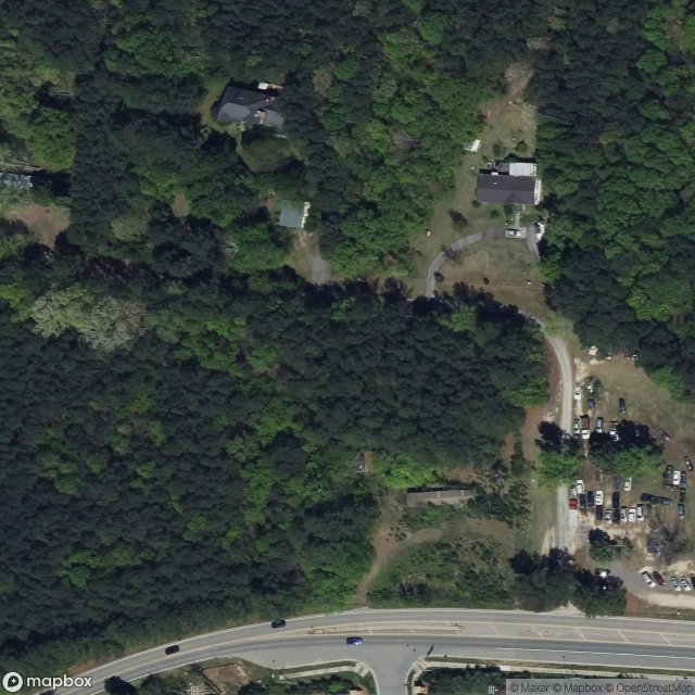
Literal Treasure Trove of Sites
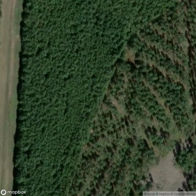
Merry Oaks
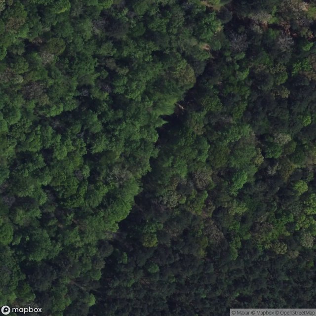
Middle Creek Park Greenway, Cary
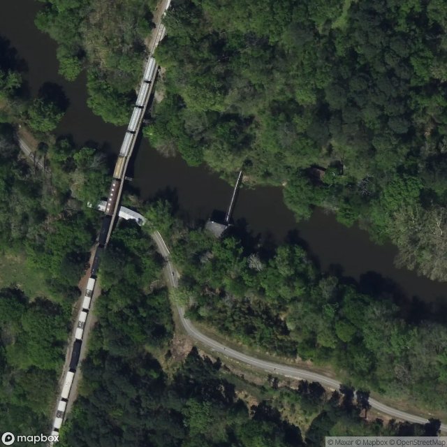
Neuse River Trail, Raleigh
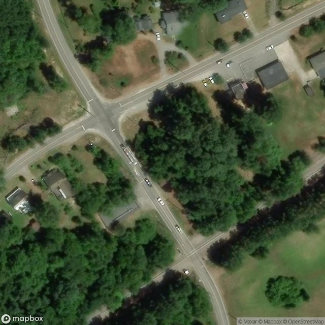
New Hill

Raleigh

Raleigh

Rolesville

Rolesville
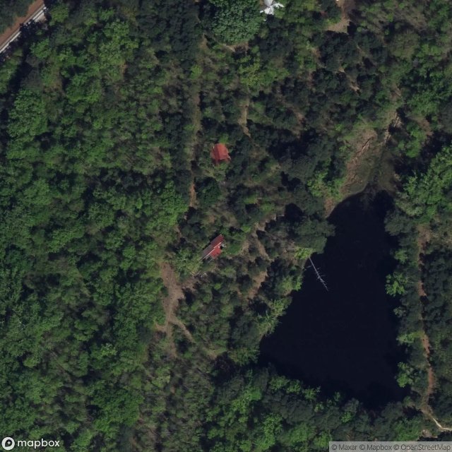
Salem Village, Apex
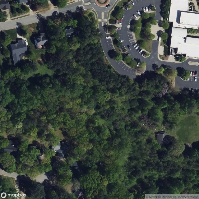
Shadows Within the Coordinates

Shadows of the Vector
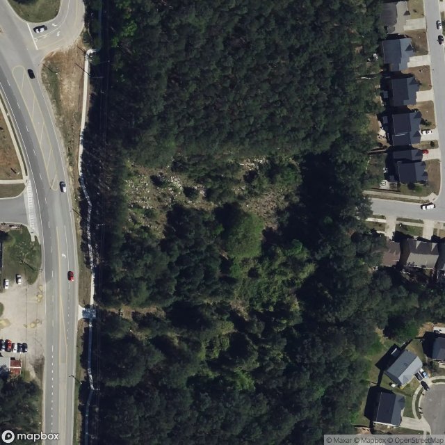
Shadows of the Vector
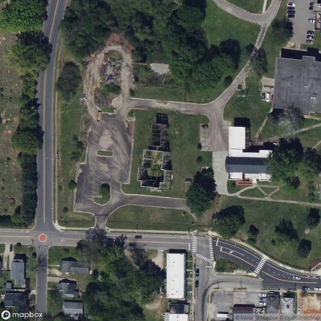
St. Augustine's University, Raleigh
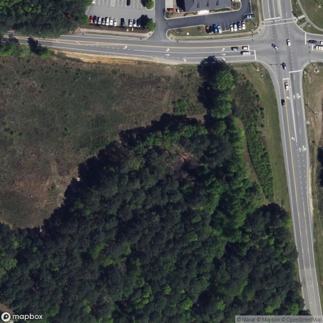
The Goddard School of Fuquay-Varina, Fuquay-Varina

The Imported Phantom Layer
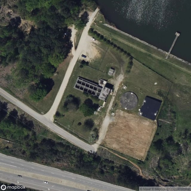
Traces in the Grid
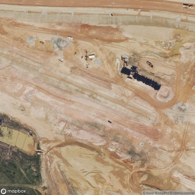
Triangle Expressway
Wake County, North Carolina
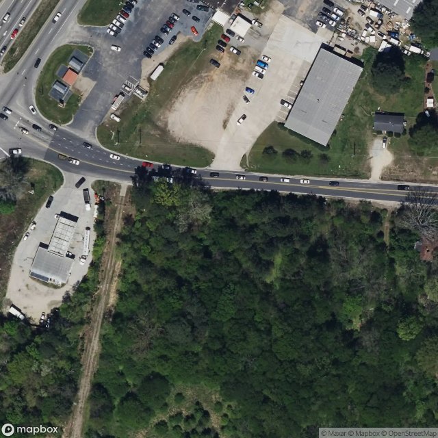
Wake Forest

West Raleigh

Zebulon