Freyung Grafenau
Mapa Urbex Shadows of the Grid
Freyung GrafenauBayernAlemania
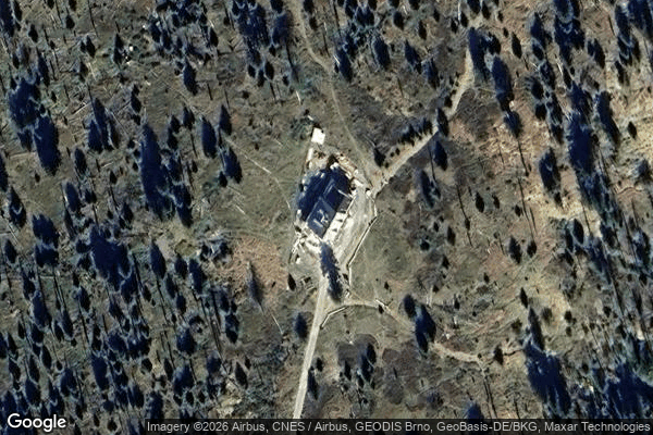
Shadows of the Grid - Coordonnées GPS Urbex
Obtenez la coordonnée GPS exacte de ce lieu abandonné situé dans le département Freyung Grafenau (Bayern, Alemania). Spot urbex vérifié et géolocalisé.
The Großer Rachel or Great Rachel is a mountain, 1,452 m above sea level (NHN); it is the second highest summit in the Bavarian Forest and Bohemian Forest after the Großer Arber and the highest mountain in the Bavarian Forest National Park. Together with the Kleiner Rachel or Little Rachel, 900 metres to the northwest, it forms the mountain of Rachel (Czech: Roklan).
0,90EUR
Paiement unique - accès à vie
Pago 100% seguro
AMEX
Google Pay
stripe
Conexión SSL cifrada · Sin datos bancarios almacenados
Ce qui est inclus
- Coordonnée GPS exacte
- Photo satellite du spot
- Accès immédiat après achat