Myrdalshreppur
Mapa Urbex Hátún, Vík
MyrdalshreppurSuðurlandIslandia
Actualizaciones de por vida
Hátún, Vík - Coordonnées GPS Urbex
Obtenez la coordonnée GPS exacte de ce lieu abandonné situé dans le département Myrdalshreppur (Suðurland, Islandia). Spot urbex vérifié et géolocalisé.
Vík (Icelandic pronunciation: [ˈviːk] ), known as Vík í Mýrdal ([ˈviːk iː ˈmirˌtaːl̥], lit. 'Vík in Mire Dale') in full, is the southernmost village in Iceland. It is located on the main ring road around the island, and is around 180 km (110 mi) southeast of Reykjavík by road. Despite its small size (750 inhabitants in Mýrdalshreppur as of January 2021) it is the largest settlement for some 70 km (43 mi) around and is an important staging post.
0,90EUR
Paiement unique - accès à vie
Pago 100% seguro
AMEX
Google Pay
stripe
Conexión SSL cifrada · Sin datos bancarios almacenados
Ce qui est inclus
- Coordonnée GPS exacte
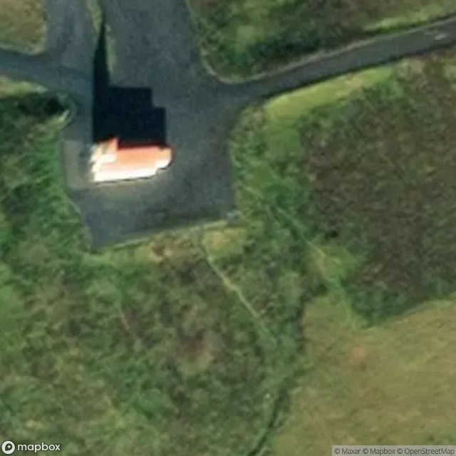
- Photo satellite du spot
- Accès immédiat après achat