Mapa Urbex Former brick works kiln
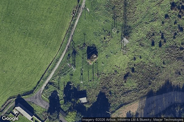
Former brick works kiln - Coordonnées GPS Urbex
Obtenez la coordonnée GPS exacte de ce lieu abandonné situé dans le département County Durham (England, Reino Unido). Spot urbex vérifié et géolocalisé.
The Kepier power station was a cancelled coal-fired power station on the River Wear at Kepier, 0.75 miles (1.21 km) north east of Durham, County Durham, North East England. Planned by the North Eastern Electric Supply Company (NESCo) in 1944, it was never realised as the scheme faced stiff opposition from those who claimed it would obstruct views of the historic Durham Cathedral from the East Coast Main Line. A number of people supported the scheme as it would help meet the increasing demand for
Paiement unique - accès à vie
Pago 100% seguro
Conexión SSL cifrada · Sin datos bancarios almacenados
Ce qui est inclus
- Coordonnée GPS exacte
- Photo satellite du spot
- Accès immédiat après achat