Cumberland
Mapa Urbex South Windham, Windham
CumberlandMaineEstados Unidos
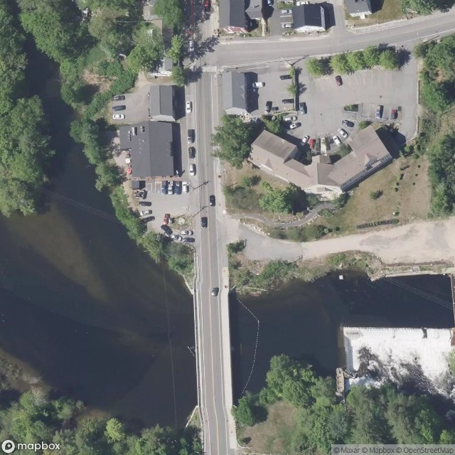
South Windham, Windham - Coordonnées GPS Urbex
Obtenez la coordonnée GPS exacte de ce lieu abandonné situé dans le département Cumberland (Maine, Estados Unidos). Spot urbex vérifié et géolocalisé.
The Cumberland and Oxford Canal was opened in 1832 to connect the largest lakes of southern Maine with the seaport of Portland, Maine. The canal followed the Presumpscot River from Sebago Lake through the towns of Standish, Windham, Gorham, and Westbrook. The Canal diverged from the river at Westbrook to reach the navigable Fore River estuary and Portland Harbor.
0,90EUR
Paiement unique - accès à vie
Pago 100% seguro
AMEX
Google Pay
stripe
Conexión SSL cifrada · Sin datos bancarios almacenados
Ce qui est inclus
- Coordonnée GPS exacte
- Photo satellite du spot
- Accès immédiat après achat