Mapa Urbex Shadows of the Grid
Actualizaciones de por vida
Shadows of the Grid - Coordonnées GPS Urbex
Obtenez la coordonnée GPS exacte de ce lieu abandonné situé dans le département Campos Novos (Santa Catarina, Brasil). Spot urbex vérifié et géolocalisé.
Campos Novos is a Brazilian municipality located in the western part of the state of Santa Catarina, in the Southern Region of Brazil. It belongs to the Chapecó Intermediate Geographic Region and the Joaçaba-Herval d'Oeste Immediate Geographic Region, situated approximately 370 km west of the state capital. The municipality covers an area of about 1,717 km2 (663 sq mi), with an estimated population of 36,932 inhabitants in 2022, making it the 41st most populous municipality in the state.
Paiement unique - accès à vie
Pago 100% seguro
Conexión SSL cifrada · Sin datos bancarios almacenados
Ce qui est inclus
- Coordonnée GPS exacte
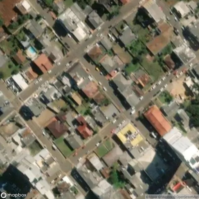
- Photo satellite du spot
- Accès immédiat après achat