Mapa Urbex Traces of Imported Shadows
Actualizaciones de por vida
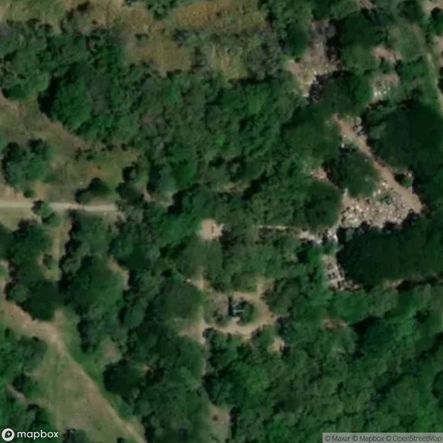
Traces of Imported Shadows - Coordonnées GPS Urbex
Obtenez la coordonnée GPS exacte de ce lieu abandonné situé dans le département Armero (Tolima, Colombia). Spot urbex vérifié et géolocalisé.
The Armero tragedy (Spanish: Tragedia de Armero [tɾaˈxeðja ðe aɾˈmeɾo]) occurred following the eruption of the Nevado del Ruiz stratovolcano in Tolima, Colombia, on November 13, 1985. The volcano's eruption after 69 years of dormancy caught nearby towns unprepared, even though volcanological organizations had warned the government to evacuate the area after they had detected volcanic activity two months earlier. As pyroclastic flows erupted from the volcano's crater, they melted the mountain's g
Paiement unique - accès à vie
Pago 100% seguro
Conexión SSL cifrada · Sin datos bancarios almacenados
Ce qui est inclus
- Coordonnée GPS exacte
- Photo satellite du spot
- Accès immédiat après achat