Urbex मानचित्र Lesser Fort, Gabela
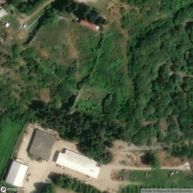
Lesser Fort, Gabela - Coordonnées GPS Urbex
Obtenez la coordonnée GPS exacte de ce lieu abandonné situé dans le département Herzegovina Neretva (Federacija Bosna I Hercegovina, बोस्निया). Spot urbex vérifié et géolocalisé.
Drijeva, also known as Narenta, was a medieval customs and market town located on the banks of Donja Neretva in what is today the village of Gabela, Bosnia and Herzegovina. At the time, the town is also referred to as Narenta, especially in official contemporary documents, often written outside of Bosnia and in Latin and Venetian It was held by the Kingdom of Serbia until the War of Hum (1326–29), when it was passed to the Banate and then Kingdom of Bosnia. It was an early colony of the Republi
Paiement unique - accès à vie
100% सुरक्षित भुगतान
SSL एन्क्रिप्टेड कनेक्शन · कोई बैंकिंग डेटा संग्रहीत नहीं
Ce qui est inclus
- Coordonnée GPS exacte
- Photo satellite du spot
- Accès immédiat après achat