Nis
Urbex मानचित्र The Mapped Silence
NisNisavskiसर्बिया
आजीवन अपडेट
The Mapped Silence - Coordonnées GPS Urbex
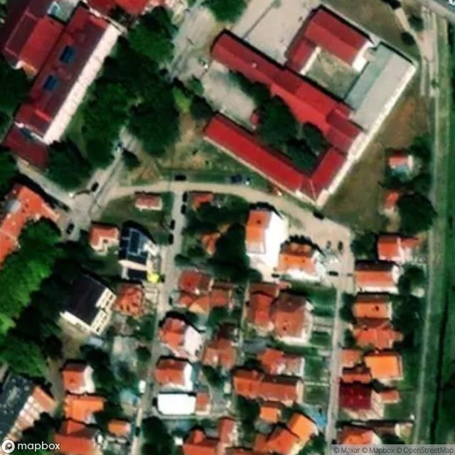
Obtenez la coordonnée GPS exacte de ce lieu abandonné situé dans le département Nis (Nisavski, सर्बिया). Spot urbex vérifié et géolocalisé.
Skull Tower (Serbian Cyrillic: Ћеле кула, romanized: Ćele kula, pronounced [tɕel̩e kula]; Turkish: Kelle kulesi, lit. 'skull tower') is a stone structure embedded with human skulls located in Niš, Serbia. It was constructed by the Ottoman Empire following the Battle of Čegar of May 1809, during the First Serbian Uprising. During the battle, Serbian rebels under the command of Stevan Sinđelić were surrounded by the Ottomans on Čegar Hill, near Niš.
0,90EUR
Paiement unique - accès à vie
100% सुरक्षित भुगतान
AMEX
Google Pay
stripe
SSL एन्क्रिप्टेड कनेक्शन · कोई बैंकिंग डेटा संग्रहीत नहीं
Ce qui est inclus
- Coordonnée GPS exacte
- Photo satellite du spot
- Accès immédiat après achat