Urbex मानचित्र Port Perry, East Pittsburgh
आजीवन अपडेट
Port Perry, East Pittsburgh - Coordonnées GPS Urbex
Obtenez la coordonnée GPS exacte de ce lieu abandonné situé dans le département Allegheny (Pennsylvania, संयुक्त राज्य). Spot urbex vérifié et géolocalisé.
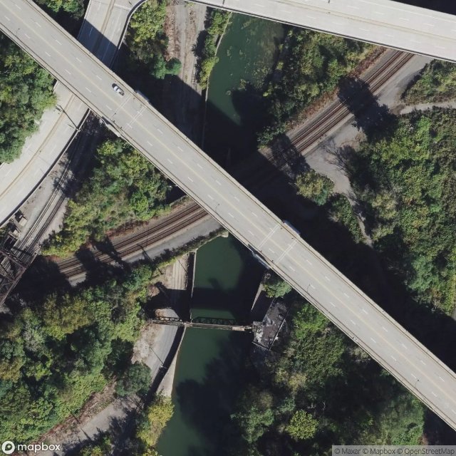
George Westinghouse Memorial Bridge in East Pittsburgh, Pennsylvania, carries U.S. Route 30, the Lincoln Highway, over the Turtle Creek Valley near to where it joins the Monongahela River Valley east of Pittsburgh. The reinforced concrete open-spandrel deck arch bridge has a total length of 1,598 feet (487 m) comprising five spans. The longest, central span is 460 feet (140 m), with the deck height 240 feet (73 m) above the valley floor, for a time the world's longest concrete arch span structur
Paiement unique - accès à vie
100% सुरक्षित भुगतान
SSL एन्क्रिप्टेड कनेक्शन · कोई बैंकिंग डेटा संग्रहीत नहीं
Ce qui est inclus
- Coordonnée GPS exacte
- Photo satellite du spot
- Accès immédiat après achat