Virginia
Urbex मानचित्र Chesterfield
5 परित्यक्त स्थान: Chesterfield

5
स्थान
€4.90
एकमुश्त भुगतान - आजीवन पहुंच
सभी परित्यक्त स्थान: Chesterfield
5 सत्यापित GPS निर्देशांक विभाग में Chesterfield, Virginia, संयुक्त राज्य.
Chesterfield, Virginia, संयुक्त राज्य में परित्यक्त स्थान खोज रहे हैं? Urbex Maps इस क्षेत्र में परित्यक्त इमारतों के 5 सत्यापित GPS निर्देशांक प्रदान करता है, जिनमें खदानें, खंडहर शामिल हैं।
5
सत्यापित स्पॉट
GPS
Google Maps, Waze
सितंबर 2026
अंतिम अद्यतन
Chesterfield में परित्यक्त स्थान कहाँ खोजें?
Chesterfield में परित्यक्त स्थान खोजने का सबसे अच्छा तरीका 5 सत्यापित GPS निर्देशांक के साथ Urbex Maps पर इंटरैक्टिव अर्बेक्स नक्शा है। शीर्ष श्रेणियाँ खदानें, खंडहर हैं।
Chesterfield में परित्यक्त स्थानों के प्रकार
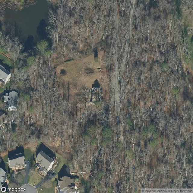
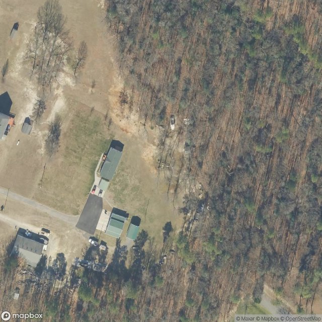
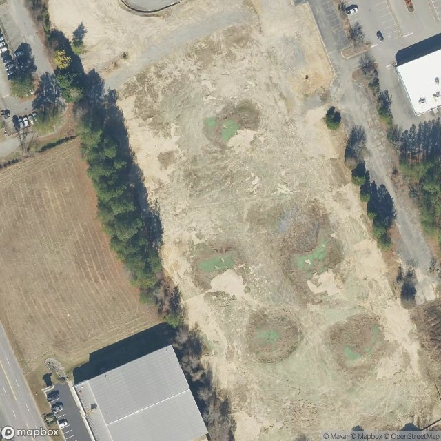
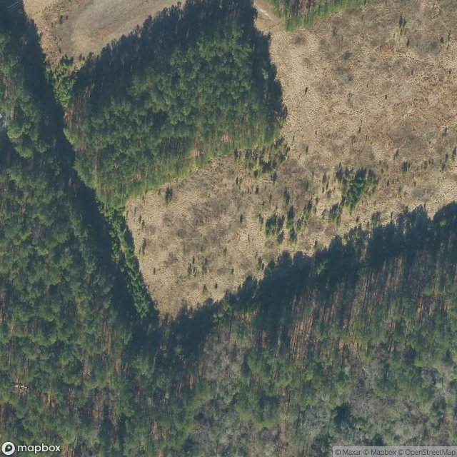
स्पॉट: Chesterfield
Urbex FAQ for Chesterfield, संयुक्त राज्य
Is urban exploration legal in Chesterfield, संयुक्त राज्य?+
Urbex is generally tolerated in Chesterfield, संयुक्त राज्य as long as you don't damage anything and don't enter actively guarded property. Respect "private property" and "no trespassing" signs. Never break a lock or window.
What types of abandoned places can I find in Chesterfield, संयुक्त राज्य?+
Chesterfield, संयुक्त राज्य has 5 geolocated spots across multiple categories: abandoned castles, industrial wastelands, hospitals, military bunkers, mines, railway stations, churches and ghost villages.
How do I use the GPS coordinates I've purchased?+
After purchase, log into your account to view the GPS coordinates. Copy-paste into Google Maps, Apple Maps or Waze. Lifetime access, no subscription.
How many abandoned places are listed in Chesterfield, संयुक्त राज्य?+
Chesterfield, संयुक्त राज्य has 5 geolocated abandoned places with exact GPS coordinates across 1 regions.
What's the best season for exploring in Chesterfield, संयुक्त राज्य?+
Spring (April-May) and autumn (September-October) are ideal: golden light, mild temperatures, less invasive vegetation.
Ce que nos articles disent de ces lieux
Fort Monroe na ponta da Peninsula da Virginia -- o maior forte de pedra ja construido nos Estados Unidos, cercado por um fosso cheio d'agua e encerrando 63 acres -- foi a instalacao militar mais estrategicamente importante da Costa Leste durante grande parte da historia americana. Robert E. Lee serviu como engenheir…Lire l'article : Abandoned Places in Virginia: 10 Best Sites (Free GPS) →
