Volkermarkt
Mappa Urbex ehem. Rainer Schutzhaus (Ruine)
VolkermarktKarntenAustria
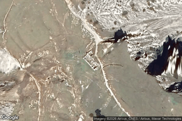
ehem. Rainer Schutzhaus (Ruine) - Coordonnées GPS Urbex
Obtenez la coordonnée GPS exacte de ce lieu abandonné situé dans le département Volkermarkt (Karnten, Austria). Spot urbex vérifié et géolocalisé.
Hochobir, with its peak at 2,139 m (7,018 ft), is the highest mountain in the Obir massif, located in the northern Karawanks range. Other notable peaks are Kuhberg (2,026 metres (6,647 ft)), Kleinobir (1,948 metres (6,391 ft)), Vielspitz (1,624 metres (5,328 ft)), and Altberg (1,552 metres (5,092 ft)). In the eastern part of the massif, there are the Obir dripstone caves, developed into show caves, and in the northern part, the Wildenstein Waterfall.
0,90EUR
Paiement unique - accès à vie
Pagamento 100% sicuro
AMEX
Google Pay
stripe
Connessione SSL crittografata · Nessun dato bancario memorizzato
Ce qui est inclus
- Coordonnée GPS exacte
- Photo satellite du spot
- Accès immédiat après achat